River Lea
London, Hackney, United Kingdom
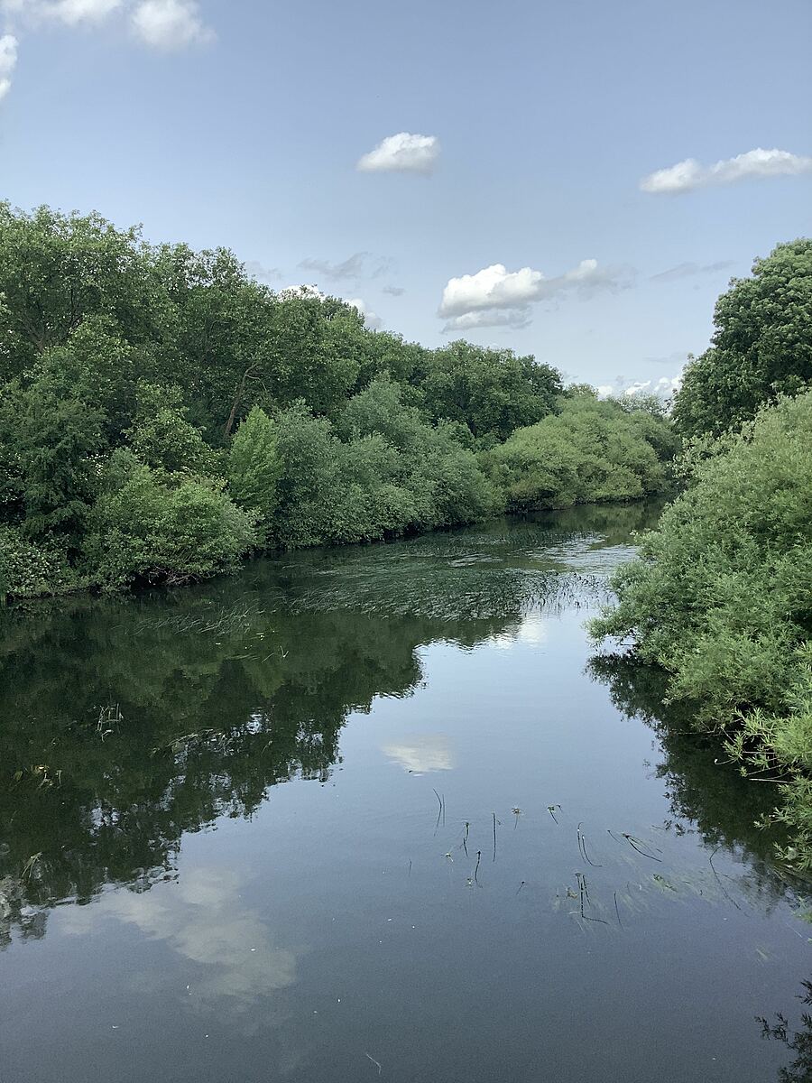
The River Lea flows from the countryside of Hertfordshire to Bow Locks in East London, dissecting North and East London. It suffers from a number of pollution streams including raw sewage from misconnected plumbing and diffuse pollution from roads and agriculture higher up in the catchment. In its lower urban section where it has been canalised, options for naturalising the channel are limited.
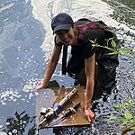
Sampling happens from the White House Bridge.
Location created by
Philly Nicholls
- Group: Thames21 : Lea Guardians
- Site ID: GB106038077852_WHB
- Lat: 51.55484
- Lng: -0.025711
- Waterbody Type: River
- Timezone: Europe/London
Latest photos


I’m not sure about the phosphate result as the Checker was playing up.
Turbidity was below 12
Turbidity less than 12
The water is low, but moving fast and clear enough to see the river bed. Turbidity below 12 but the app doesn’t allow symbols or text there.
Slight oily sheen on the surface, otherwise clear and fairly fast moving. Mallards swimming.
Water clear, fast flowing. Several dragonflies seen.
Small bubbles coming up in the water in some places. Some splashes from fish; two people were fishing.
Both tests came up as inv. on my low range testers. I measured the other samples afterwards with no issues so it’s not a problem with the Hanna Checker.
Warm, sunny day, temperature around 22°. No rain in previous 48 hours, fairly frequent light rain in the days preceding.
Water very high & very fast & brown
Air temp around 12°, water much lower and much slower, still turbid