River Lea
London, Hackney, United Kingdom
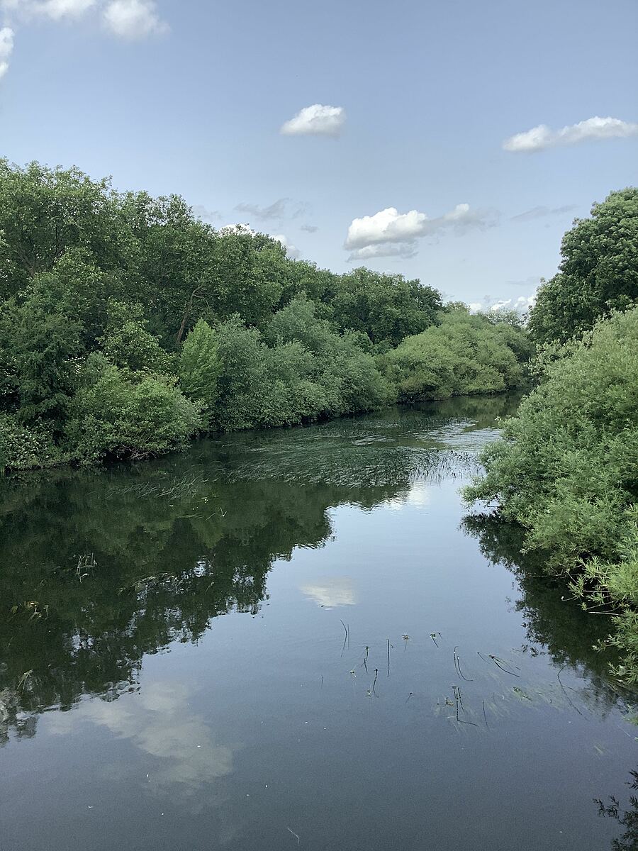
The River Lea flows from the countryside of Hertfordshire to Bow Locks in East London, dissecting North and East London. It suffers from a number of pollution streams including raw sewage from misconnected plumbing and diffuse pollution from roads and agriculture higher up in the catchment. In its lower urban section where it has been canalised, options for naturalising the channel are limited.
Sampling happens from the White House Bridge.

Location created by
Philly Nicholls
- Group: Thames21 : Lea Guardians
- Site ID: GB106038077852_WHB
- Lat: 51.55484
- Lng: -0.025711
- Waterbody Type: River
- Timezone: Europe/London
Latest photos


Observation tests summary
Phosphates total
ppm
2.3
Latest
1.2
Average
Ammonia
ppm
0.1
Latest
0.2
Average
Air temperature
°C
12.0
Latest
6.0
Average
Water temperature
°C
22.5
Latest
16.9
Average
Conductivity
μS/cm
1020
Latest
703
Average
Turbidity
NTU
12.0
Latest
12.2
Average