Muskrat Lake Public Beach
Cobden, Ontario, Canada
Region: Zone 15 - Muskoka - Cobden, ON
Coordinates: 45.674377, -76.908190
Area*: 1206.5 ha | 2981 ac | 12.1 km² |
Volume: 213,200,000 cu. m | Mean Depth: 17.7 m. Avid fishing destination summer and winter.
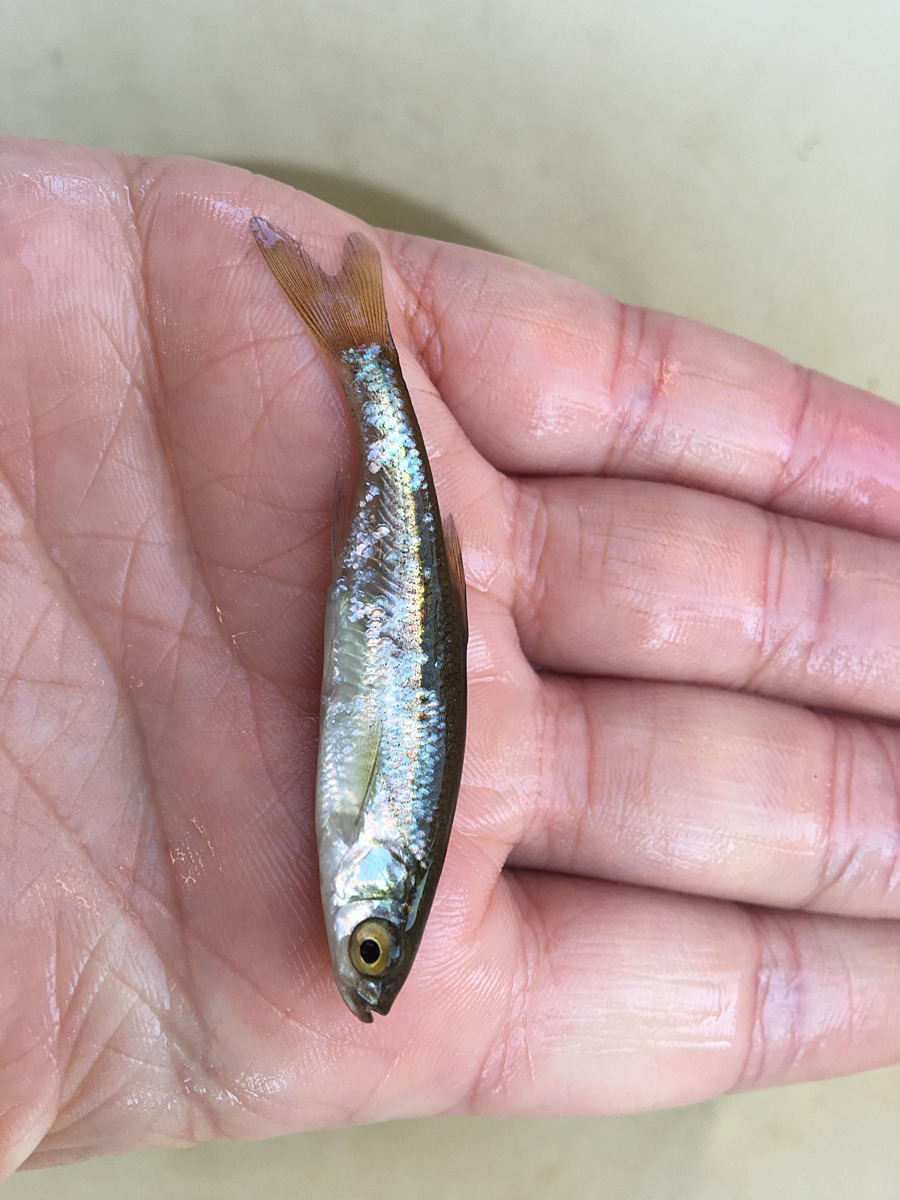
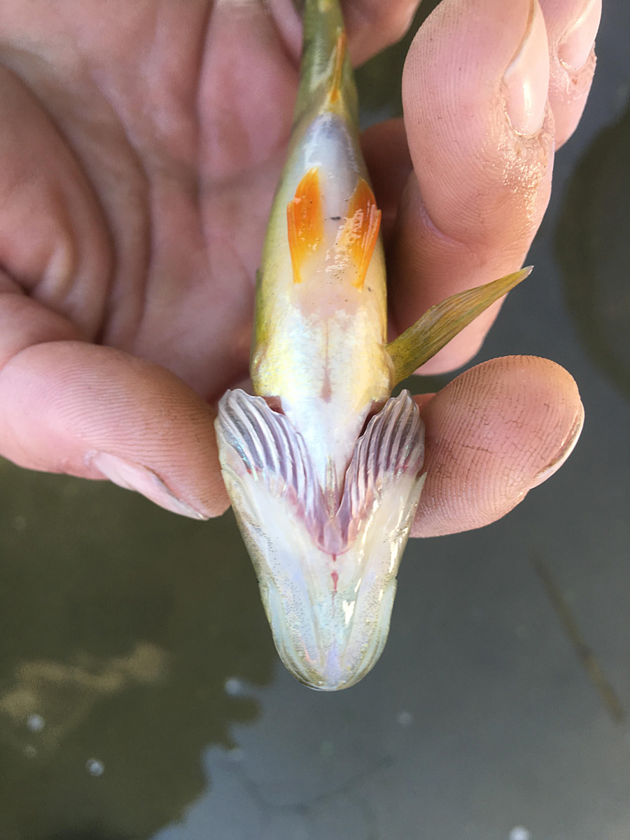
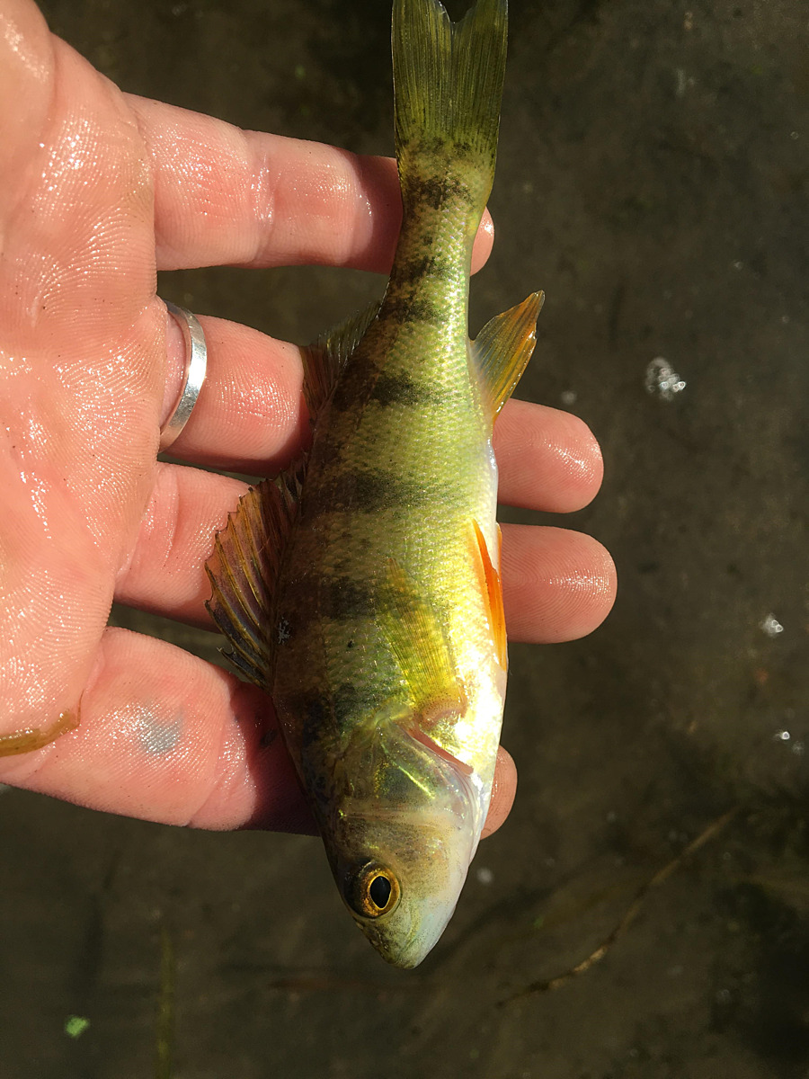
Fishing year round: Pike, Walleye, Pickerel, and Lake Trout. Frequent beach closures from Cyanobacteria (blue/green algae) blooms. Large swamp at south east end of the lake, habitat for many native birds. this area can be accessed by the boardwalk near the treatment plant.
Location created by
Jennifer Valentine
- Group: Protect Our Waters
- Lat: 45.6288197
- Lng: -76.877861
- Waterbody Type: Lake
- Timezone: America/Toronto
Latest photos
Muskrat Lake Public Beach : Cobden, ON
Observed on
2017-08-24
Sunny, but rained that early morning hours.
Muskrat Lake Public Beach : Cobden, ON
Observed on
2017-07-27
Wind 6km W, 88% Humidity, 101.2 kPa TDS 154 ppm - mg/L
Muskrat Lake Public Beach : Cobden, ON
Observed on
2017-07-22
Beautiful sunny day out sampling on the Lake. No Algae notice yet, as seasonal blooms plague this...
Muskrat Lake Public Beach : Cobden, ON
Observed on
2016-10-20
Conditions calm, no cloud cover, sunny, 10:20 am The purpose of this was to take sediment gra...