Hodge Brook
Surrey, United Kingdom
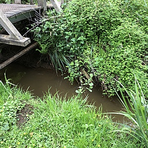
The test site was just below a bridge on the main path through the nature reserve. The stream is accessible here as the bank vegetation is kept short on the western side.
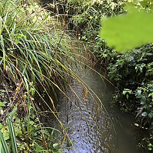
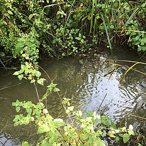
The water is moving quite fast, but it is a narrow stream and not dangerous.

- Group: River Wey Trust: ZERO Guildford Hub
- Lat: 51.2813503
- Lng: -0.62356
- Waterbody Type: Stream
- Timezone: Europe/London
Latest photos
View all photosWater is very low, is pale brown
water smelt muddy
a little foam
higher than average but not very high.
reddish brown silty water
muddy smell
Water very murkey and rusty, red brown. Smelt muddy. Possibly some work upstream is loosening silt which is flowing down. Not possible to investigate
Very high water over the banks, highest I have ever seen it.
Seemed that most quantative measures had been very diluted
Stream had been over the banks 2 days prior to survey following heavy rain. Currently a fast flow, but not surging
light brown tinge to water.
Low flow, not had rain for over a week and has been very warm. Slight brown tinge to water
small brown and black bits of vegetation floating under surface, water much browner than expected given only 4mm of rain in Normandy. However, rainfall levels were localised and could have been much heavier rain in catchment of this stream


