Port Glascow (creek just down hill to right of marina on Grey line
Ontario, Canada
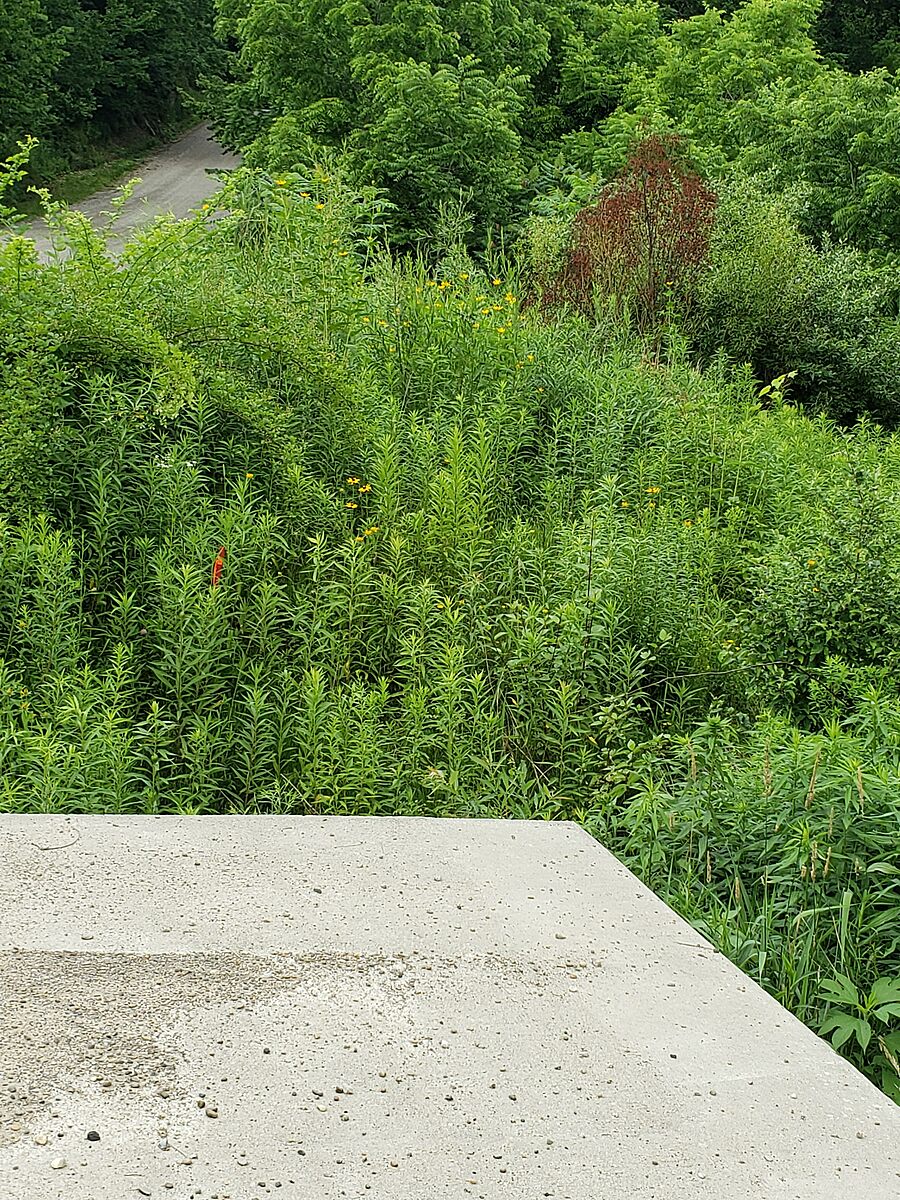
This tributary is feeding into Lake Erie at Port Glasow. Our test site was down the hill on Grey line to right of marina. There is a cement culvert. We tested on the lake side in the left front corner. You can access by going down bank beside culvert . The left culvert hole (from below) was dry and we took our sample from the rocks about 8 ft from culvert leading into water.

Location created by
Rick Sowinski Maggie Jones
- Group: Lake Erie Rangers : Lake Erie Guardians (2021-2023)
- Site ID: 3
- Lat: 42.5054375
- Lng: -81.6246712
- Waterbody Type: Creek
- Timezone: America/Toronto
Latest photos


When we got there 2 men were dip netting for minnow s off culvert in creek. They had maybe 10 minnows. They said since new culvert was put in not alot of minnow s here. There was natural debris on water (tree branch s ).There was alittle foam (spotty here and there) There was evidence of fishing. There was no algae. The water flow was steady. The water level was average (maybe alittle lower than last months sample .The water was brown in colour. The water clarity was cloudy(could see alittle ). There was no odour on water.
There was alot of yellow flowers (TBD)
Purple flowers (wild Flox)
Small mauve with white centre flowers (TBD)
Thistles, milk weeds ,grass s (tall) Tree s bee s ,birds, nates
The water had natural debris , alittle foam floated by (small 1"-2" )
Some Algae on rocks . Water was flowing steady. Water level was low. Water color was clear. Clarity was observed .No odour s present