St. Lawrence River
Quebec, Canada
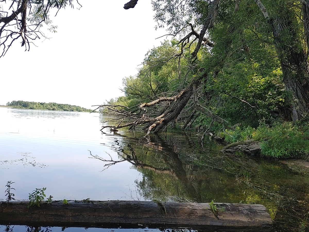
Sandy shelf that extends out into river (you can walk a good distance out and only be at waist level), Heavy erosion on island causing lots of trees to fall into water.
Coordinates: 45.016480 -74.617606
Location created by
Emma Ehrenfeld
- Group: River Institute : Upper St. Lawrence River Volunteer Monitoring
- Lat: 45.016459
- Lng: -74.6176171
- Waterbody Type: River
- Timezone: America/Toronto
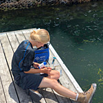
Latest photos
St. Lawrence River : Yellow Island
Observed on
2023-08-02
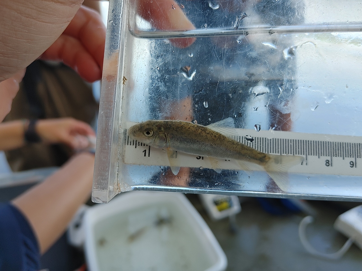
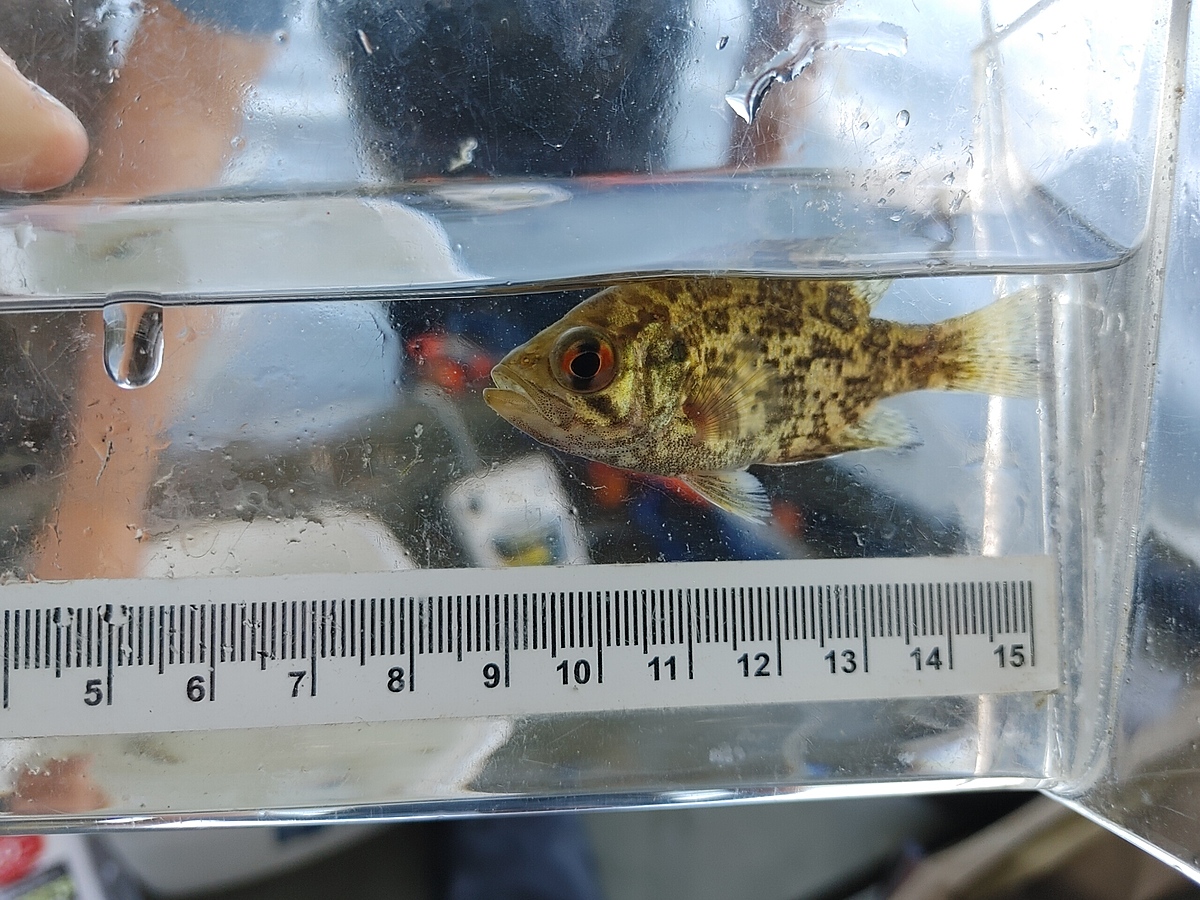
Plants: Star grass, tape grass, coontail, elodea, willow trees Fish: BROWN BULLHEAD, banded kill...
St. Lawrence River : Yellow Island
Observed on
2023-08-02
St. Lawrence River : Yellow Island
Observed on
2022-07-22