pH (0-14)
What's this?
7.3
Main Channel Marker (near Keystone / Torrance Isle) : Upper French River
Ontario, Canada

Observed by
Tim Murdoch
- Observed on: Mon, 01 Jul 2024 12:00:00 -0400
-
Associated with:
Upper French River : Lake Nipissing & The French River - Lat: 46.2002702
- Lng: -79.8592254
Observation report
See trends at this locationWater quality tests
✓ Quality checked by Water Rangers What's this?
Dissolved oxygen mg/L
What's this?
6.0
Secchi depth m
What's this?
3.1
Chlorine ppm
What's this?
0.0
Hardness mg/L
What's this?
0.0
Alkalinity mg/L
What's this?
0.0
Water depth m
What's this?
8.4
Conductivity μS/cm
What's this?
63.0
Air temperature °C
What's this?
23.0
Water temperature °C
What's this?
20.8
Wildlife

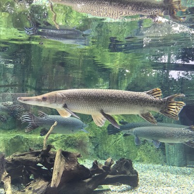
Fish
What's this?

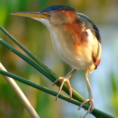
Bird
What's this?
Weather
Current weather What's this?
Weather in previous 24 hours What's this?
Latest photos
No photos uploaded.
Notes
Anchored in the middle of the main channel of the Upper French River at 27.7 feet approximately midway across the channel not far from the main RED buoy and nearby Keystone.
