pH (0-14)
What's this?
8.4
@ Greenwood Drive after confluence with Hagar Creek : Indian Creek
Burlington, Ontario, Canada
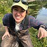
Observed by
Gab Robert
- Observed on: Sun, 25 May 2025 09:15:00 -0400
- Testers Gab Robert
-
Associated with:
Water Rangers : Lake Erie Rangers - Lat: 43.318949
- Lng: -79.8154807
Observation report
See trends at this locationWater quality tests
Pending Quality Check from Water Rangers What's this?
Dissolved oxygen mg/L
What's this?
11.0
Secchi depth m
What's this?
bottom visible
Chloride ppm
What's this?
406.0
Chlorine ppm
What's this?
0.0
Hardness mg/L
What's this?
200.0
Alkalinity mg/L
What's this?
150.0
Water depth m
What's this?
0.37
Conductivity μS/cm
What's this?
1,810.0
Air temperature °C
What's this?
16.0
Water temperature °C
What's this?
11.7
Qualitative
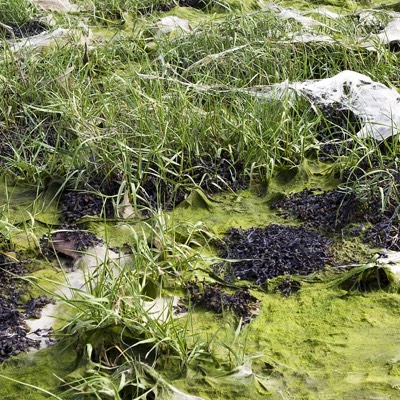
Algae
What's this?
Yes
Odour
What's this?
Algae
Clarity
What's this?
Clear
Pollution
What's this?
Residential discharge, Urban/road discharge
Algae Type
What's this?
Evenly dispersed, Attached, Not sure
Water Flow
What's this?
Slow
Water Uses
What's this?
Other
Water Level
What's this?
Average
Water Colour
What's this?
Brown, Green
On the water surface
What's this?
Scum, Natural debris
Wildlife
Weather
Current weather What's this?
Weather in previous 24 hours What's this?
Latest photos


Notes
Creek has been alter by man-made infrastructure (to collect rain water through our the neighbourhood and parts of the city)
Substrate is concrete (north end) and large rocks cover in algae (south end)
North end has an okay amount of vegetation (trees, bush and grass) but mostly large boulders (placed by humans) to hold the bank from the highway (QEW). South side has a good amount of vegetation up to the residential area.
Some riparian canopy over the creek to provide shade (roughly 20% covered)
Site has been littered: cans, Styrofoam, plastics - and was cleaned at the best ability.
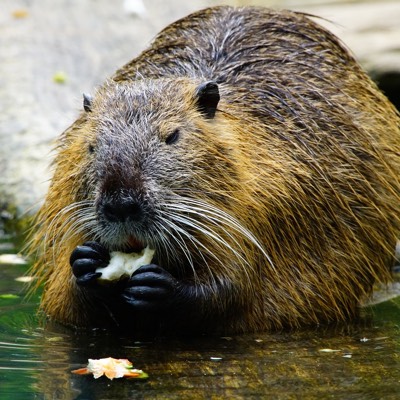
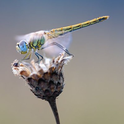
Animals spotted: Squirrels, birds (blue jay, black capped chickadee) and various insects