
Alouette River
Pitt Meadows, British Columbia, Canada
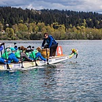
Small beach & small craft boat launch. Tidal river, but gentle currant. A popular place for local community members to launch kayaks, SUP boards & canoes. Close to parking lot with access to picnic area & dyke trails. Dyke trails parallel the river on both sides for portions of the way, popular to bike, hike & walk dogs.
Parts of this river is bordered by farm land. The river starts at Alouette Lake in Golden Ears Park.
On river (I paddle) & shores, I have seen bears, beavers, seals, heron, Canadian Geese, ducks & birds of all sorts.
Location created by
M Whittier
- Group: Water Rangers : Water Rangers Water Quality Testers
- Site ID: Alouette & Harris Road
- Lat: 49.264444
- Lng: -122.6886177
- Waterbody Type: River
- Timezone: America/Vancouver
Latest photos

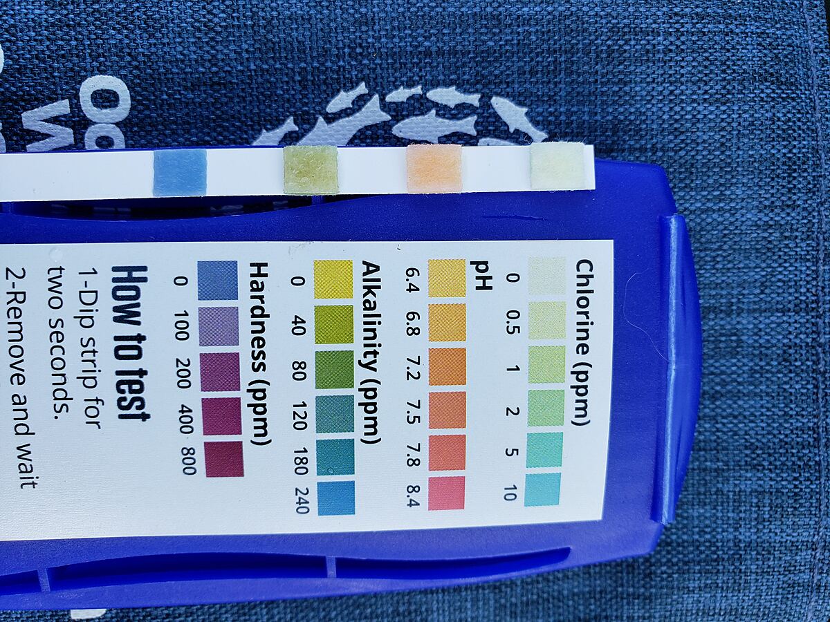
No visible sediment in the water this month, but no real rain for a month. Very hot month. Water level down considerably. Lots of people enjoying the water, boating, SUP & swimming.
Feb. 22 2023: Water depth changed from 41 meters to 0.41 meters by Jonas
Water very high. Still lots of runoff, water this week Grey with sediment, clear & colourless in sample.
Lots of boaters, SUP , etc. enjoying the water today.
•First photo taken of testing. Notes: used a cup on a pole to gather water over a meter from shore. Water clear & colourless. No smell.
•Second & third photo of water testing location & water. Notes: water is crazy high, normally a small beach. Used by families & to launch small water crafts. Water colour, caused by runoff, not usually this brown, lots of sediment. Water surface lots of poplar fluff & flotsam, probably from high water levels. No litter observed on or near river.
• Third photo, water source, Golden Ears Mountains in the distance.