
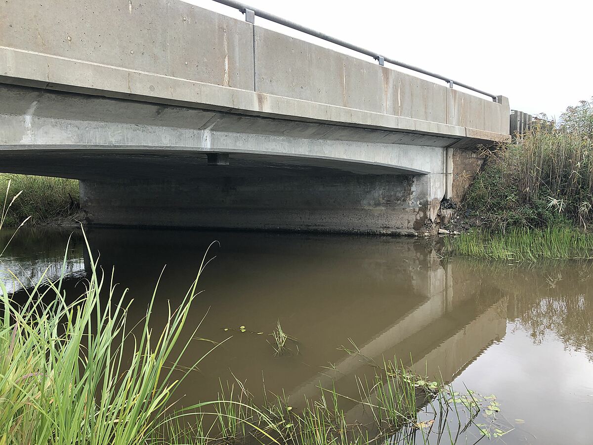
Stobie Creek
Ontario, Canada
Observer : TKC

Location created by
Corinne Wilkerson
- Group: Central Algoma Land Trust : St Joseph Channel Water Quality Monitoring
- Lat: 46.3419353
- Lng: -83.8887829
- Waterbody Type: Creek
- Timezone: UTC
Latest photos

Sandhill cranes did a fly-by, grasshoppers and other insects, water level lower than last monitoring event, water cloudy, lots of suspended solids.
heard a warbler and sparrow, could not see to identify, also heard a red-winged blackbird which were observed along the river bank from the access point. Water in the creek was yellow brown with a high concentration of suspended solids.
Water was murky, appears to have high TSS.
Song sparrow singing nearby.
Farmer's field immediately west of Stobie Creek has been ditched and drainage tile installed with what appears to be an outlet to the creek downstream of the sampling location.
Secchi depth edited from 40 to 0.4 metres by admin
Heavy traffic at time of sampling prevented an attempt to get secchi depth from highway bridge. Current sluggish, surface flow appeared to be moving upstream, weeds were bent downstream. Algal blooms present.
Secchi depth determination difficult from shore - advise trying from bridge abutment if safe to do so.
Took measurement from creek edge so did not measure water depth or sechhi depth.
Water slow moving, brown, turbid.
Water sample taken from creek edge (very shallow).
Geese flying overhead.
downstream of highway