
Otonabee River
Peterborough, Ontario, Canada
Tested on the downstream edge of the island, at the end of the path.

Location created by
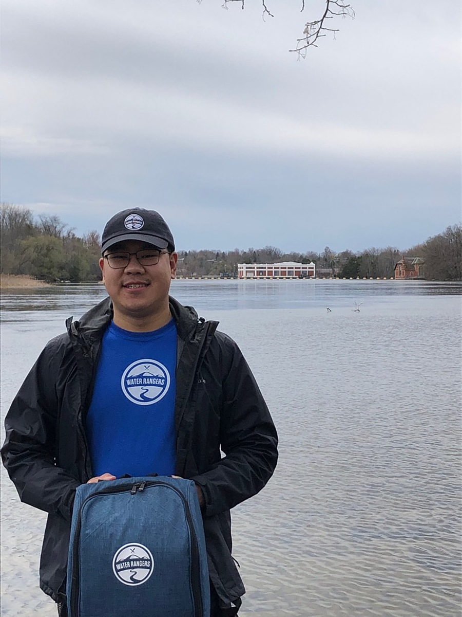
Luke Williamson
- Group: Water Rangers : Testers abroad
- Lat: 44.3429999
- Lng: -78.3070003
- Waterbody Type: Unknown
- Timezone: America/Toronto
Latest photos
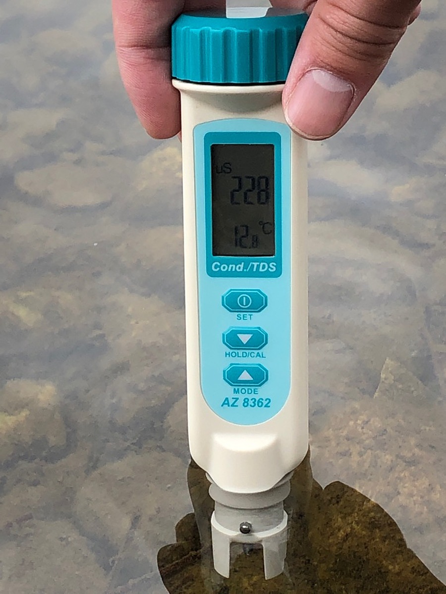
Tested on a windy, cloudy Sunday around 1:30PM EST. Observed crayfish swimming amongst the rocks. Water level was high and flow rate was fast.