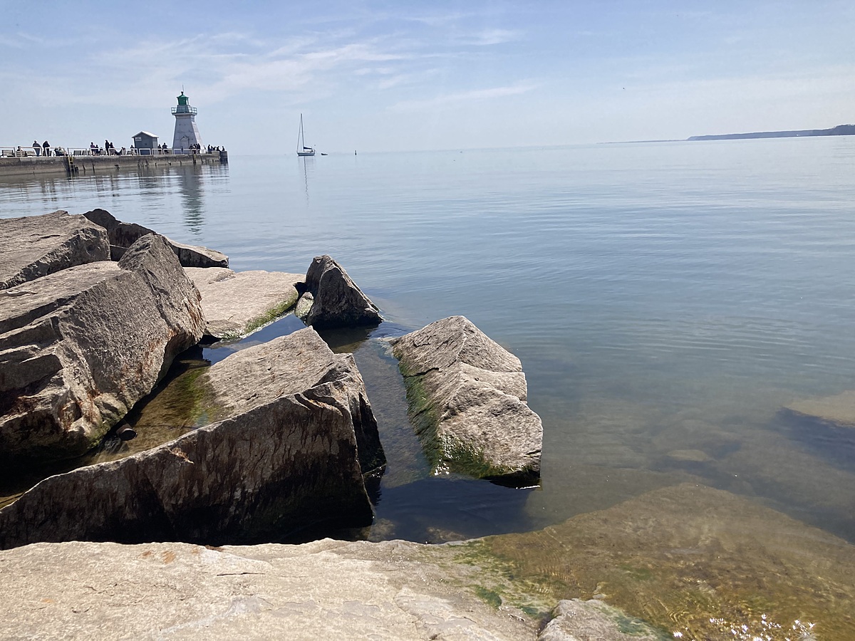
Lake Erie
Port Dover, Ontario, Canada
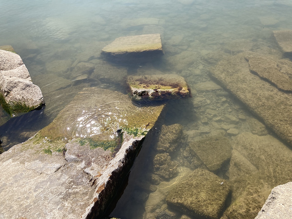
Rocky area to the North side of the pier, facing the Port Dover main beach

Location created by
Chris Keast
- Group: Water Rangers and Freshwater Alliance : Lake Erie Guardians
- Site ID: PDPSH-001
- Lat: 42.7825134
- Lng: -80.2015042
- Waterbody Type: Unknown
- Timezone: America/Toronto
Latest photos

Water was a bit murky. Could see bottom (only 0.5m depth). There was a film of green algae on the rocks that were submerged under water.