Ancient Grove Creek, Brunette River Watershed
Burnaby, British Columbia, Canada
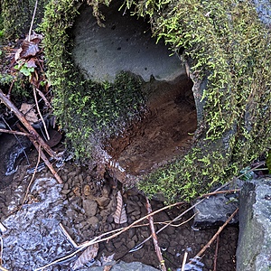
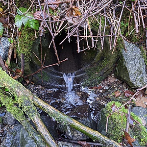
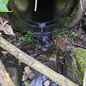
Tributary 2 is fed by a stormdrain from the Mona Drive area of Cariboo Heights.

Location created by
Utta Gagel
- Group: Cariboo Heights Forest Preservation Society : Road Salt in Urban Creeks Project
- Site ID: AGC - 2
- Lat: 49.2403901
- Lng: -122.9016537
- Waterbody Type: Creek
- Timezone: America/Vancouver
Latest photos
View all photosAncient Grove Creek, Brunette River Watershed : Tributary 2 of Ancient Grove Creek, Cariboo Heights Forest, Burnaby, BC
Observed on
2021-12-13
TDS measurement was 3489


