Sangamon River
Mahomet, Illinois, United States
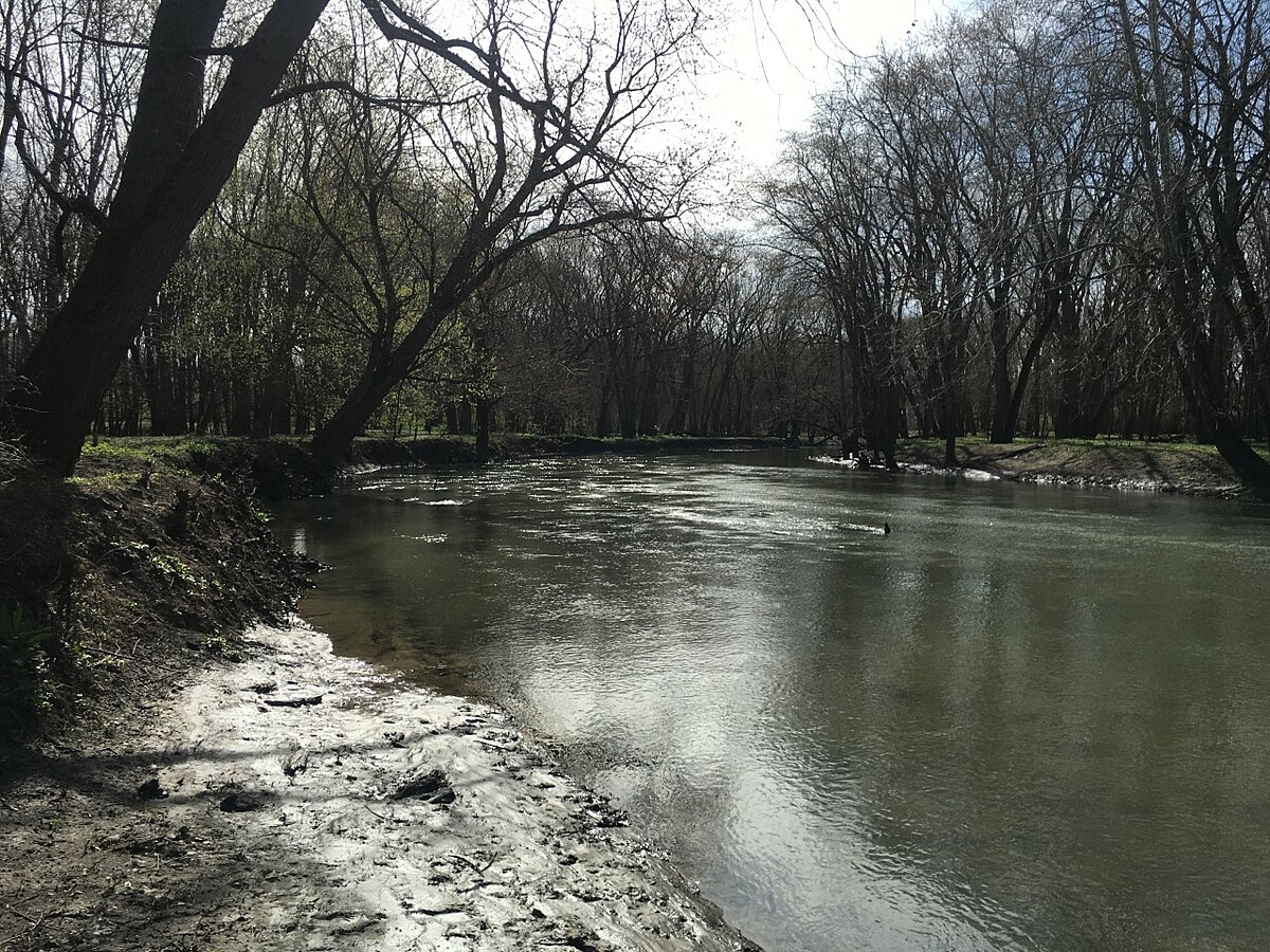
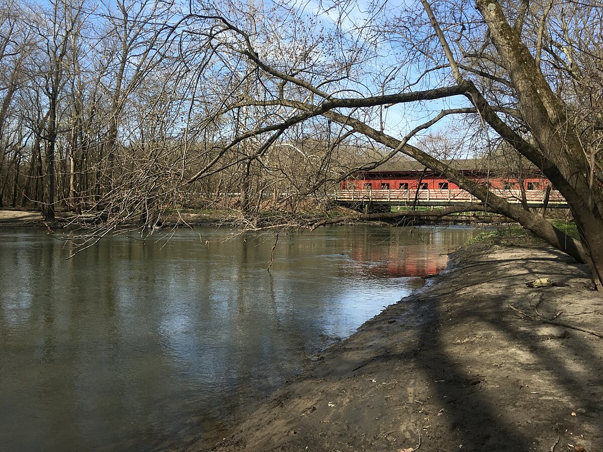
The sample location is on the north bank of the river, 150 feet downstream of the covered bridge. A sandbar allows for access to the water when the river is near average flow.

Location created by
Bruce M Colravy
- Group: National Great Rivers : Winter Chloride Watch
- Site ID: R05-001-04
- Lat: 40.2040143
- Lng: -88.3871126
- Waterbody Type: River
- Timezone: America/Chicago
Latest photos
Although 28 was enter as the value for chloride, the actual value is slightly less but the conversion chart only goes as low as 28.
The value for conductivity was entered as 33ppm, but the actual value is slightly less because the lowest conversion chart value is 33ppm.
Although chloride values are entered at 33 mg/l the value is slightly less than that, because the lowest value on the conversion chart is 33 mg/l.
4 mallard ducks and 2 geese on the water, several bluebirds in the trees
Monitoring delayed a week due to flooding.
2 stoneflies observed at the site
15 geese observed on the water at the testing site.
Monitored 1 week late due to high water levels and ice.
Ice has prevented operation of river gage #05570910 discharge, so cfs flow has been unavailable.
Birds were noticeably more vocal than they have been the last several weeks.
No wildlife observed.
The stream flow (cfs) was from USGS gage number 05570910.
For the chloride (mg/l) value, 33 was entered because it was the lowest value on the conversion card. The actual value is a little less than 33.