Qu'Appelle River Saskatchewan
Fort Qu'Appelle, Saskatchewan, Canada
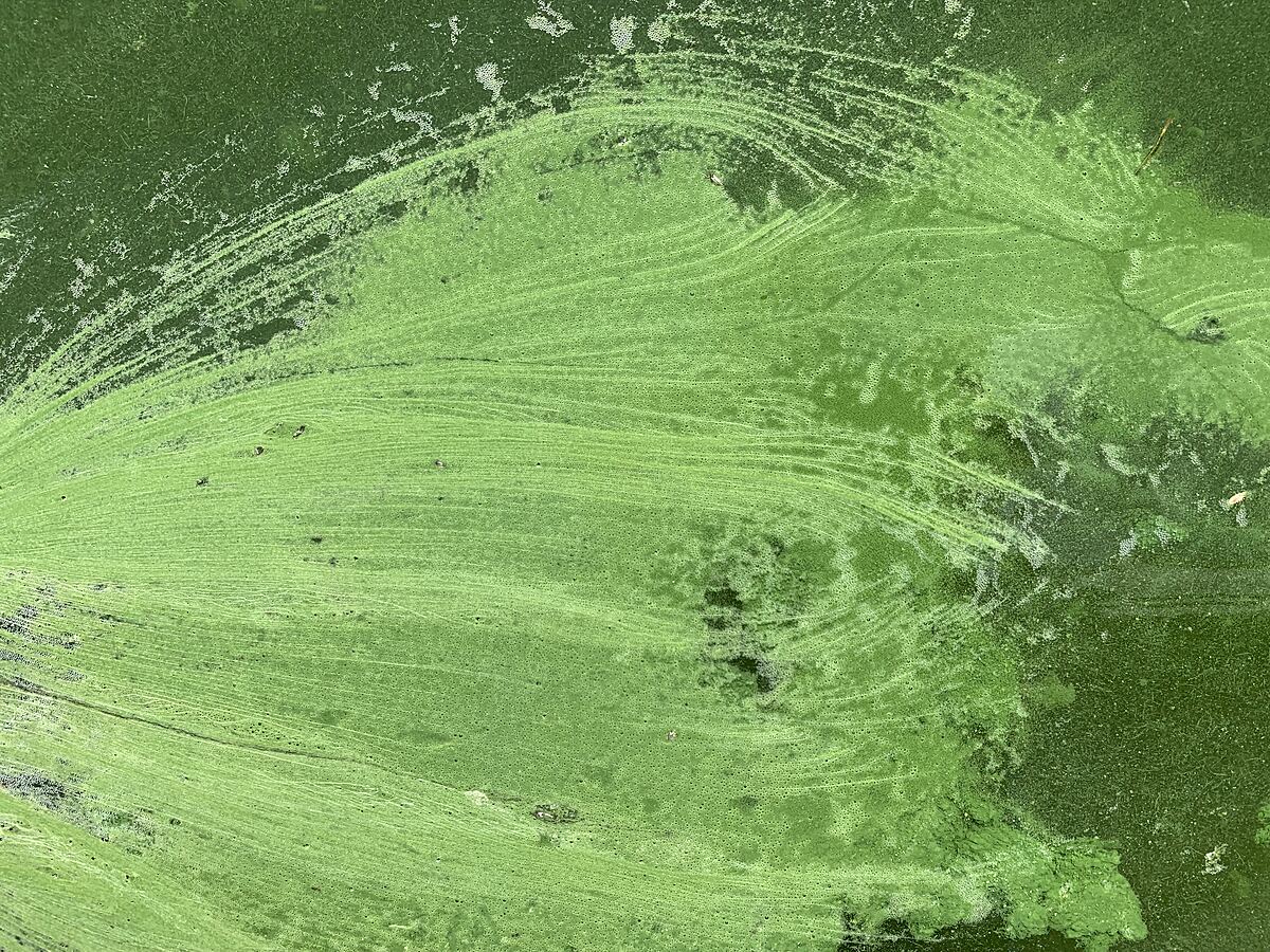
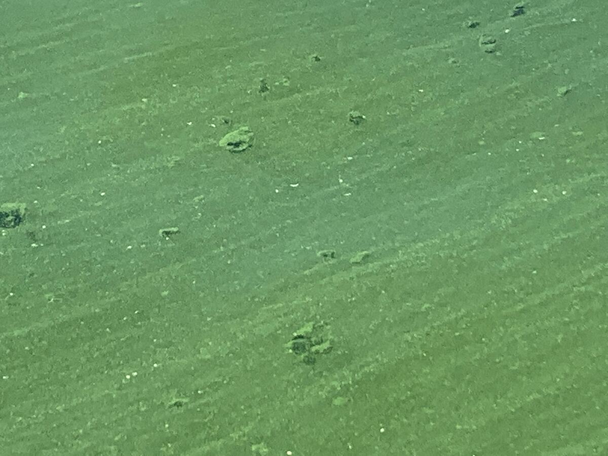
Just west of Bsaytah point, middle of lake . Co-ordinates provided byWater Security Agency for baseline testing Monday July 12, 2021.
High wave action ( winds from NW26km)
foam bubbles noted
Severe thunderstorm evening before - strong swirling winds from several different directions through the evening. Very little rain fail. Plethora of lightening - for approx 3 hours

Location created by
Joni Darke
- Group: University of Regina : Citizen Science
- Site ID: 50.7982 - 103.8567
- Lat: 50.8005103
- Lng: -103.8580513
- Waterbody Type: Lake
- Timezone: America/Regina
Latest photos

There are currently no issues at this location.