Qu'Appelle River
Saskatchewan, Canada
Lat. 50.772355 Long. -103.774126

- Group: University of Regina : Citizen Science
- Lat: 50.7721577
- Lng: -103.7739586
- Waterbody Type: River
- Timezone: America/Regina
Latest photos
View all photosUpstream lake moderate algae growth from 4 weeks ago. Channel water quite clear.
Repeated several parameters to report.
Up channel winter test site at PFRA weir is being reconstructed with new piering plus delta inlet lake bottom dredged to open shore thus more possible outlet for Echo Lake.
Previously channel had white foam bergs coming through channel; coagulation from Waste Water City of Regina? (Annual discharge.)
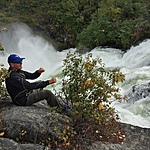
Fisherman at test site. Various garbage scatter. Decent river clean appearance with visible flow increase.
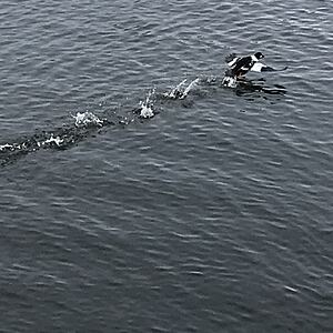
Huddle of ducks.
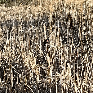
A bit of garbage. Muskrat burrow along bank side. Last years cattail stalks settled along river channel bank.
Fox wandering toward golf course, waited for vehicle traffic saw after my testing.
Alkalinity 220 ppm constant for years.
Hardness 150/180 ppm constant for years
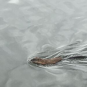
Muskrat swimming on open channel. Low flying Canada geese always a treat. Sampling was 100 meters from unsafe edge ice. Actual is Secchi access drop from bridge over hang. Sample depth same as regular site. This I believe latest channel test in past 3 years vs. upstream availability at PFRA weir upstream in delta from Echo Lake.
Channel flow has been strong with higher upstream levels.
PFRA Weir lowered June 24th river channel appears clearer.
Steady channel current
River channel in spring runoff so secchi plus wind guesstamate .5 m depth with several tosses into current.
Water sample was visibly turbid.


