
Pearl River
Brandon, Mississippi, United States
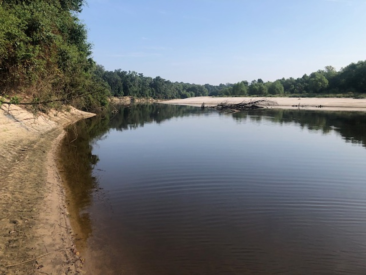
Site is on upstream edge of sandbar on right downstream bank of Pearl River located 0.25 miles south of the Lake Hico water intake tower on River. Site is upstream of confluence with Purple Creek. Access is from the east end of Westbrook Road. Westbrook Road ends at the open gate to the Westbrook family compound. Drive thru the open gate on the gravel road and continue straight. Gravel track will change to dirt track at 0.10 mile from gate where the gravel drive to the Westbrook family compound veers to left – continue straight. Park on side of track at bar gate located on
right side that leads to the Lake Hico water intake structure on the Pearl River. The trail or path to the sandbar begins here. Walk down the open access track to the Lake Hico intake structure. Continue straight past intake along trails thru the woods along and near the upper bank of the Pearl River. The distance is 0.4 miles from the parking site to the sandbar. Sample the river at the upstream edge of the sandbar. The Pearl River bank at the end of Westbrook Road is high and steep. If walking to the sandbar site is not desirable, alternative sampling sites are along the river downstream from the Lake Hico water intake structure, although the very steep river bank is ~ 15 – 25 feet in height in these areas. Jack Westbrook owns the property where parking is located and down the trails thru woodlands to the sandbar. Louise York lives nearby. The driveway to Ms. York’s house is the last gravel drive to the right just before the Westbrook gate. Ms. York contacted Mr. Westbrook about the desire of RiverKeepers to monitor the Pearl River at this location, and Mr. Westbrook approved.
Location created by
Abby Braman
- Group: Mississippi State University : Mississippi Water Stewards
- Lat: 32.3650645
- Lng: -90.1007438
- Waterbody Type: River
- Timezone: America/Chicago
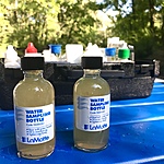
Latest photos
stage gauge at USGS Hwy 25 Lakeland Dr.
Stage gauge is USGS Hwy 25 Lakeland Dr, downstream of site. River is up about 1 foot from day before.
Test site is about 1/8 mile upstream from regular site that was not accessible because of Pearl River flooding. No tributaries enter the river between this interim site and the regular site. Pearl Riverkeepers considers this site representative of the regular site. River remains at flood stage with over bank flooding, although the river is on a fall. Current stage is 30' at downstream USGS Hwy 25 gauge, at flood stage, having fallen from a high of 40.8 ' on August 29. The official Pearl River USGS and NWS flood stage gauge is located further downstream at Hwy 80, currently at 27.5', down from the crest of 35.4' August 29.
River at flood stage, 31.3 feet at downstream USGS Hwy 25 gauge. Torrential rain with more than 8" in previous 48 hours. Test site is on high river bank upstream of regular site due to flooding. No tributaries or other sources enter the river between this upstream site and the regular site. Flooding is from river overbank into woodlands. Pearl Riverkeepers consider this test site on this day as representative of the standard site.
stage at 17.2 feet from USGS downstream gauge Hwy 25. Stage was 19' 24 hours earlier following scattered thunderstorms. River falling from earlier flush. Usual summer stage about 16 feet.
River stage 16.5 feet at downstream USGS gauge at Hwy 25, summer low flows
River stage 16.5 feet on USGS Hwy 25 gauge downstream. River at typical low flow and stage for summer, very little current. No flocculent observed on water surface as several weeks ago, or the suspected flocculent discharge from the upstream OB Curtis Drinking Water treatment plant.
Air and water temp not available as I fell into a creek during afterwards and field notebook got wet, loosing these data. River stage 17 .5 feet from USGS downstream gauge at Hwy 25.
river stage 16.5 feet at downstream USGS Hwy 25 gauge. Very little flocullent in water from OB Curtis water treatment plant upstream, compared to last week. City of Jackson gave public notice last week of water filtration issues at OB Curtis, with boil water notice. Valves being removed and replaced at OBC. Flocullent part of filtration. OB Curtis permit prohibits discharge of visible flocculent (sp?)
low river, hardly any current. Very small, very fine, strange debris in slack water, almost like very small pieces of features. Speculating it could be flocculant discharge from nearby upstream drinking water treatment plant?