Lake Erie
Ontario, Canada
Protected bay along the north shore of Lake Erie in the Town of Fort Erie.

- Group: Lake Erie Rangers : Lake Erie Guardians (2021-2023)
- Lat: 42.8816877
- Lng: -78.9697695
- Waterbody Type: Lake
- Timezone: America/Toronto
Latest photos
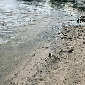
View all photosBeach is covered with algae. Probably about 15 cm deep. Nearby resident has cleared the algae with a tractor to make the beach more accessible for them.
Past few days including sampling day were also quite windy. The water was cloudy/turbid which could explain the high conductivity/TDS values that were recorded.
Open water near shore. Ice cover out on the lake. Ice boom at mouth of Niagara River remains in place.
TDS = 153 ppm
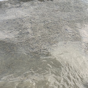
Algae that was present on the beach in July and August is now gone. The water is crystal clear again.
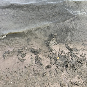
Water was wavy; ~15-30 cm; water was very murky, lots of suspended sediment and organic matter.
Beach is now covered in black/grey decaying algae. Water clarity is significantly reduced in the nearshore where we sample.


