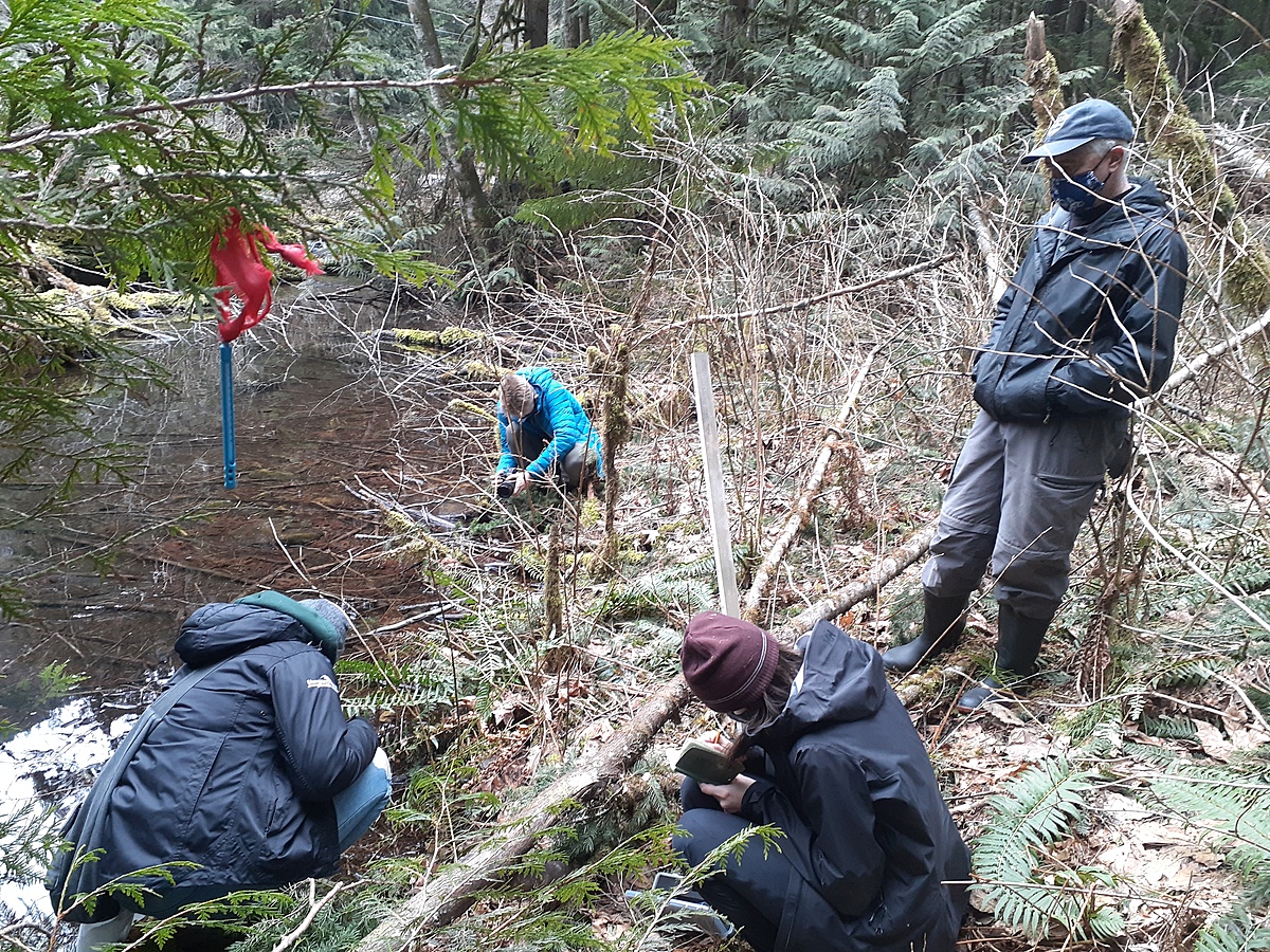
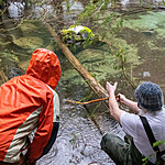
14 Mile Creek
British Columbia, Canada
West side of pool where culvert crosses under Chilliwack River Road
Location created by
Ian Stephen
- Group: The WaterWealth Project : Chilliwack River Watershed Monitoring
- Lat: 49.0961266
- Lng: -121.5789557
- Waterbody Type: Creek
- Timezone: America/Vancouver
Latest photos
14 Mile Creek : 14 Mile Creek - West side of pool - Culvert / Chilliwack River Road
Observed on
2021-03-14