Madawaska River
Ontario, Canada
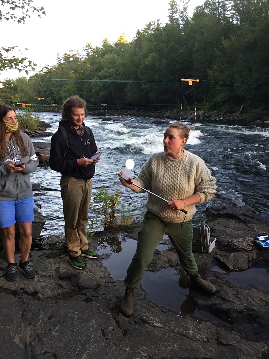
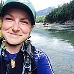
Rocky shoreline at the base of the hill to MKC. The water is moving. Summer water level is usually 26 cms (Mon to Thurs 9am- 4pm) or 5 cms when the Bark Lake dam is closed.
Location created by
Zofia Smeja
- Group: Madawaska Kanu Centre
- Lat: 45.4134646
- Lng: -77.7576311
- Waterbody Type: River
- Timezone: America/Toronto
Latest photos
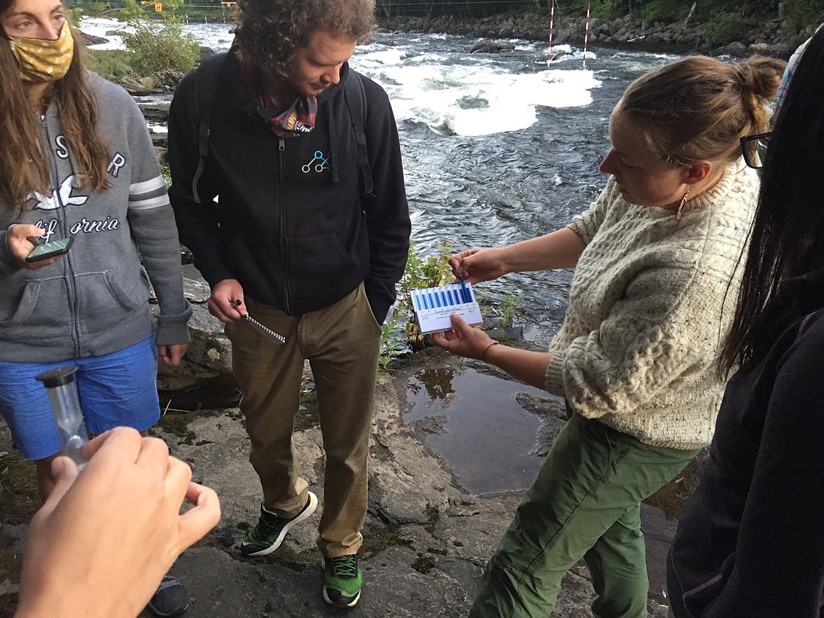
Madawaska River : Chalet Rapid, at the base of the hill to MKC
Observed on
2024-10-31
Madawaska River : Chalet Rapid, at the base of the hill to MKC
Observed on
2024-08-27
Madawaska River : Chalet Rapid, at the base of the hill to MKC
Observed on
2024-07-01
Madawaska River : Chalet Rapid, at the base of the hill to MKC
Observed on
2024-06-01
Madawaska River : Chalet Rapid, at the base of the hill to MKC
Observed on
2024-04-01
Madawaska River : Chalet Rapid, at the base of the hill to MKC
Observed on
2024-01-26
Madawaska River : Chalet Rapid, at the base of the hill to MKC
Observed on
2023-12-02
Madawaska River : Chalet Rapid, at the base of the hill to MKC
Observed on
2023-12-02
Madawaska River : Chalet Rapid, at the base of the hill to MKC
Observed on
2023-10-27
Madawaska River : Chalet Rapid, at the base of the hill to MKC
Observed on
2023-09-22