Sellers Creek
Mendenhall, Mississippi, United States
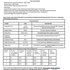
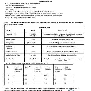
Sellers Creek is a left-bank tributary of the Strong River in the Middle Pearl River watershed. The creek flows east to west along the southern edge of Mendenhall, MS. It empties into the Strong River at a point just above D'Lo Water Park. The western border of Simpson County is formed by the Pearl River.

- Group: Mississippi State University : Mississippi Water Stewards
- Lat: 31.9569323
- Lng: -89.8721337
- Waterbody Type: Creek
- Timezone: America/Chicago
Latest photos
View all photosSellers Creek : S Main St. Bridge
Observed on
2021-08-25
creek with typical running current, no odor, foam, etc on surface.
Sellers Creek : S Main St. Bridge
Observed on
2021-08-09
Sellers Creek : S Main St. Bridge
Observed on
2021-07-29
Sellers Creek : S Main St. Bridge
Observed on
2021-07-22
usual swift flow at approximate normal level. No odor, scum or bubbles on water surface.
Sellers Creek : S Main St. Bridge
Observed on
2021-07-18
Sellers Creek : S Main St. Bridge
Observed on
2021-07-06
Sellers Creek : S Main St. Bridge
Observed on
2021-06-24
Sellers Creek : S Main St. Bridge
Observed on
2021-06-17
Creek only slightly turbid, mostly clear to depths of at least 2 - 3 feet, though water down by a...
Sellers Creek : S Main St. Bridge
Observed on
2021-06-10
Creek running swift, high and muddy from recent heavy rainfall. No scum, bubbles, or odor from w...


