St Lawrence River
Gananoque, Ontario, Canada
Sample taken from the end of a breakwater, close to the ferry dock. Very slow current

Location created by
Marilyn Garrett
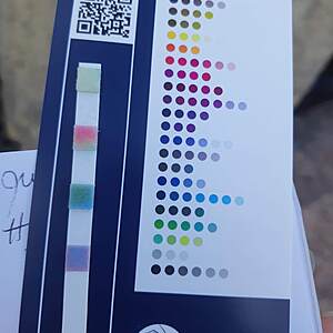
- Group: Water Rangers : 2020 OTF Test Strip Reading Study
- Lat: 44.3047301
- Lng: -76.1939621
- Waterbody Type: River
- Timezone: America/Toronto
Latest photos
View all photosSt Lawrence River : Bateau Channel at the Howe Island Ferry dock, North shore, east end
Observed on
2022-07-29
St Lawrence River : Bateau Channel at the Howe Island Ferry dock, North shore, east end
Observed on
2020-08-03
St Lawrence River : Bateau Channel at the Howe Island Ferry dock, North shore, east end
Observed on
2020-07-27
St Lawrence River : Bateau Channel at the Howe Island Ferry dock, North shore, east end
Observed on
2020-07-20
St Lawrence River : Bateau Channel at the Howe Island Ferry dock, North shore, east end
Observed on
2020-07-13
Sample taken at edge of a breakwater, which is constructed mainly of granite blocks.


