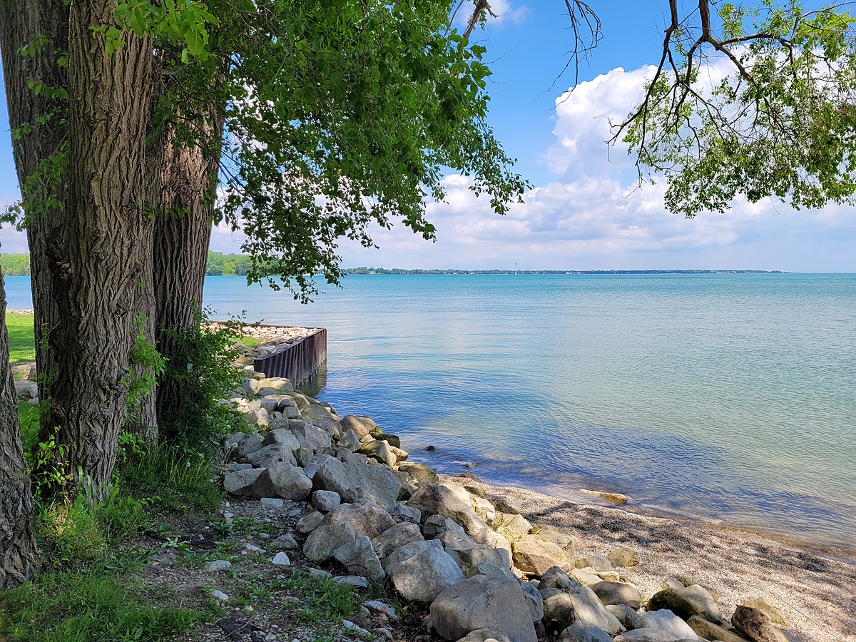
Lake St. Clair
Tecumseh, Ontario, Canada
• Moving water
• At the mouth of the Detroit River
• Beach Access
• Rocky bottom

Location created by
Cori Dufresne
- Lat: 42.3373999
- Lng: -82.9159997
- Waterbody Type: Lake
- Timezone: America/Toronto
Latest photos


Shoreline still a bit further back.
Could see open water about 100 m from shore. Curious if it was actually exposed with an ice breaker as this is a shipping route that feeds into the Detroit River. The exposed water appeared to make an "S" shape (east to west) away from shore (towards the east), making me think it was actually an ice breaker that exposed the water that is visible from shore. Did not venture out towards the water to sample as I was unsure how fragile the ice would be closer to the water.
Could see open water about 100 m from shore. Curious if it was actually exposed with an ice breaker as this is a shipping route that feeds into the Detroit River. The exposed water appeared to make an "S" shape (east to west) away from shore (towards the east), making me think it was actually an ice breaker that exposed the water that is visible from shore. Did not venture out towards the water to sample as I was unsure how fragile the ice would be closer to the water.
The ice did not break until further out into the lake. It was where I could no longer reach to take a sample.
Ice was "off", however, the water was exposed too far away and I could not sample.
Water receded away from shore noticeable amount.
Water level receded by about a metre or two.
Beach was closed due to high bacterial counts.
Recreation: People swimming and kayaking.
Took sample from about 500 metres from shore while on a paddle board.