![](https://cdn.waterrangers.ca/attachments/fba3bc1c92d59b33a7c0a90141b2c1bab825a084/store/fill/300/300/4ff044201ae47fc15927490aba324edffd8d5217f9bbe78095b40a0ceff4/image.jpg)
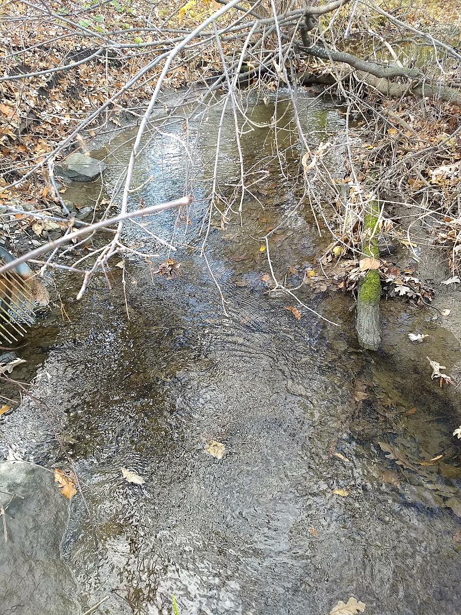
Shirleys Brook - upstream of Hines Rd culvert at Solandt Rd
Ottawa, Ontario, Canada
![](https://cdn.waterrangers.ca/attachments/2adc5967ded06741ccf3d5c1839542e94f98727f/store/fill/150/150/1fe62ea1da565e0131008bcb265620281afe1dc92f0441be74d039348c24/Harris.jpg)
Location created by
Mark D Libby
- Group: Water Rangers : City of Ottawa Parks
- Lat: 45.3424273
- Lng: -75.9200656
- Waterbody Type: Stream
- Timezone: America/Toronto
Latest photos
There are currently no issues at this location.