![](https://cdn.waterrangers.ca/attachments/1da5308e38cc4e63293aa234ebfa2d5f43018f1b/store/fill/300/300/4aa9450508cc84a2afd8c794d70825d747b71c19ba303bc07cbcc112a3d7/image.jpg)
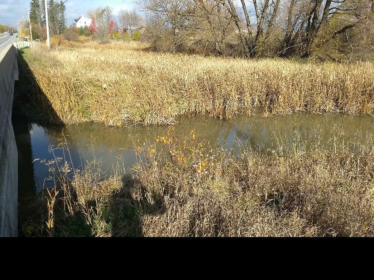
Casey Creek - upstream of Dunrobin Rd bridge, approx. 1.2km southeast of Thomas A. Dolan Pkwy
Ottawa, Ontario, Canada
![](https://cdn.waterrangers.ca/attachments/2adc5967ded06741ccf3d5c1839542e94f98727f/store/fill/150/150/1fe62ea1da565e0131008bcb265620281afe1dc92f0441be74d039348c24/Harris.jpg)
Location created by
Mark D Libby
- Group: Water Rangers : City of Ottawa Parks
- Lat: 45.4134426
- Lng: -76.0101342
- Waterbody Type: Creek
- Timezone: America/Toronto