Middle River
Baddeck, Nova Scotia, Canada
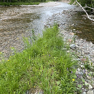
This location is on a point of land where Middle River meets MacRae Brook. Middle River water data is being recorded at a test site slightly upstream from where the brook flows into the river. There is always a current present so the water is always moving even when the water level drops in the warm season. Access to the water testing spot is safe most of the year though the tip of the point of land can be covered when there is a significant rainfall. The water flow/depth is also affected by snow melt from the Cape Breton Highlands.

- Group: Bras d'Or Lake Biosphere Region Association : BLBRA Citizen Science Around The Lake
- Lat: 46.1896019
- Lng: -60.943737
- Waterbody Type: Unknown
- Timezone: America/Halifax
Latest photos
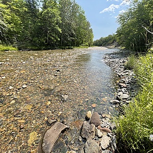
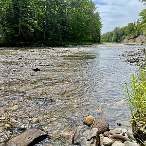
View all photosWater level continues to be low though we had significant rainfall in the wee hours of Friday, August 15th.
Middle River water flow continues to be low. Many days and nights without rain.
Queen Anne's Lace & Black Knapweed blooming. Water very low flow. Lots of exposed rock.
Middle River water level is low. No significant rainfall in recent days.
Observed a male & female Common Merganser, coltsfoot gone to seed, a few forget-me-nots, a few dandelion, wild honeysuckle (pictured above) still has a few blooms, heavenly horsetail green vegetative stalks, a carpet of green leaves with flower buds emerging (pictured above) though not sure of its name. So many plants and so many blackflies!
A merganser flew by close to the river surface.
A wild honeysuckle in bloom was noticed on the path.


