
Hand Lake @ HWY651
Chapleau, Ontario, Canada
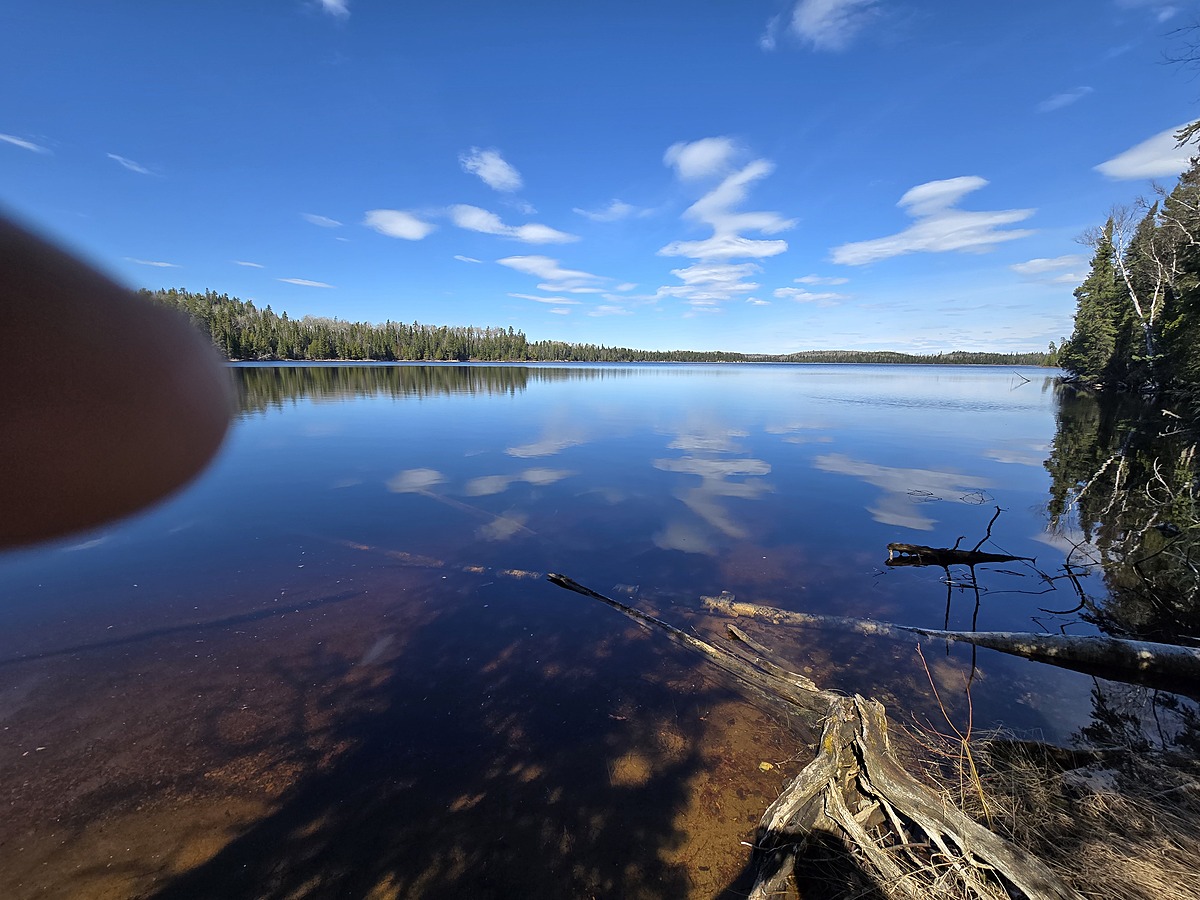
Hand Lake, located along HWY 651 en-route to Missanabie, is conveniently visible and easily accessible from the highway. Adding this lake to the MCFN regional monitoring plan for further data collection.
A slight trail has been cut and flagged for further convenience.

Location created by
Ty Hourtovenko
- Group: Missanabie Cree First Nation : Dog Lake Head Waters Monitoring Program
- Site ID: HL-651
- Lat: 48.1704117
- Lng: -84.0842485
- Waterbody Type: Lake
- Timezone: America/Toronto
Latest photos

Lots of Pollen on the shore line.
Mixed vegetation is growing well and abundant.