
Ogasiwi Creek @ HWY 651
Hawk Junction, Ontario, Canada
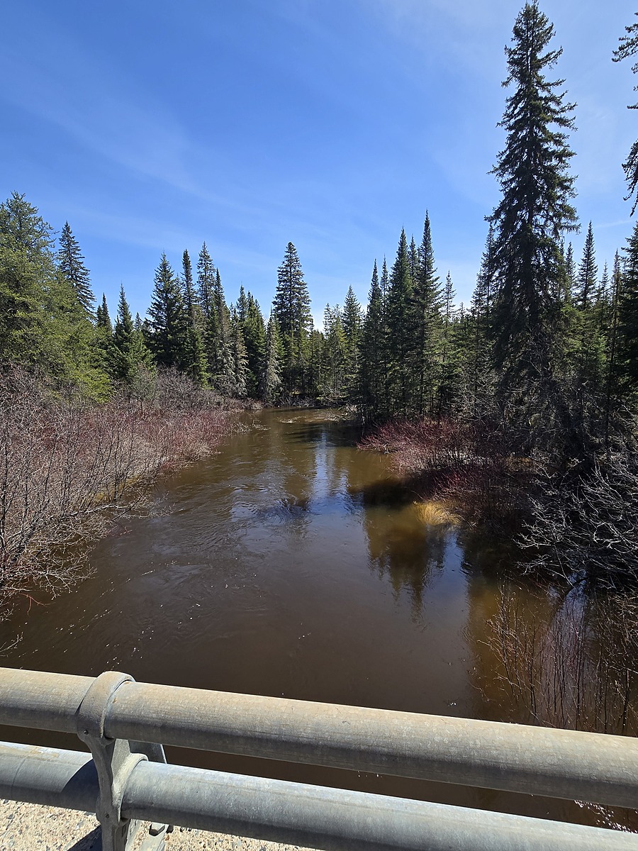
Conveniently accessible along HWY 651. Culvert beneath HWY 651. Creek Flows South, and eventually travels to Shikwamka Lake, the headwaters of the Windermere River. This location is an addition to the HWY 651 Water Bodies to be included in our regional expansion for surface water monitoring.

Location created by
Ty Hourtovenko
- Group: Missanabie Cree First Nation : Dog Lake Head Waters Monitoring Program
- Site ID: OC-651
- Lat: 48.1605143
- Lng: -84.0466976
- Waterbody Type: Creek
- Timezone: America/Toronto
Latest photos

Water Level significantly lower, which has exposed more of the creek bank.
Lots of seasonal vegetation has grown since my last visit, and it is important to note that there is an abundance of "POINSON IVY" at the current sampling location. There may be a need to relocate the sampling location for safety concerns.