Goldie River @ HWY 651
Hawk Junction, Ontario, Canada
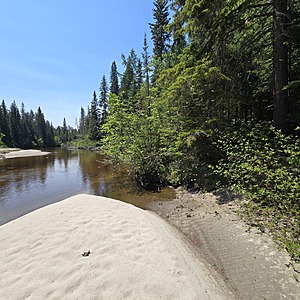
Goldie River runs south from Forty Four Lake to the east, and funnels southwest to Shikwamkwa Lake, and continues south down the Windermere River. The water level is higher in the spring and flows swiftly. This river has a sandy bottom and its shoreline is consumed with boreal forest features tight to the shore.

- Group: Missanabie Cree First Nation : Dog Lake Head Waters Monitoring Program
- Site ID: GR-651
- Lat: 48.1339575
- Lng: -84.0479422
- Waterbody Type: River
- Timezone: America/Toronto
Latest photos
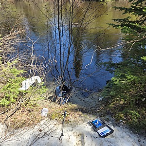
View all photosWater Level is significantly lower, in fact I was able to walk on the creek bottom which is all sand once you step off the bank of the high water line, which is approximately 2.5-3.0feet high.
There was an abundance of yellow butterflies grouped together on the sand bank in direct sunlight. (See Pictures)
Trail cut to location marked with orange flags
Water is moving fast


