Mississagi River
Iron Bridge, Ontario, Canada

- Group: NORDIK Institute : Huron Shores
- Site ID: HS-7
- Lat: 46.2735886
- Lng: -83.2267573
- Waterbody Type: River
- Timezone: America/Toronto
Latest photos
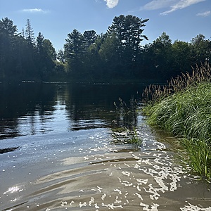
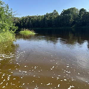
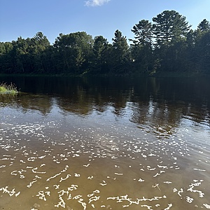
View all photosMurky water at the shore with some bubbles and bugs on top. Water is higher than we typically see here right now. Sometimes means rain up north of the dams.
Potential pollution sources, Park/Recreation, Storm Water, culvert nearby, storm water?
Little pollen on the water, everything is good otherwise!
Storm Water, urban and road - i havent always selected this but there is a culvert draining nearby that you can see from the boat launch where i collect, stormwater for that?
Overcast, river is average to a little higher today. Flows change depending on Red Rock dam operations.


