Dreany Lake
Ontario, Canada
DL = Dreany Lake
IGMRL = Island Gold Mine Reference Lake
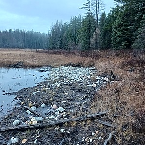
Water flowing from Dreany Lake heading south west through a culvert into a marshy environment.
Sample taken away from turbulence of water as it exits the culvert. Properly sourced in the deeper section post culvert.

Location created by
Ty Hourtovenko
- Group: Missanabie Cree First Nation : Dog Lake Head Waters Monitoring Program
- Site ID: DL - IGMRL
- Lat: 48.3271982
- Lng: -84.500463
- Waterbody Type: Lake
- Timezone: America/Toronto
Latest photos
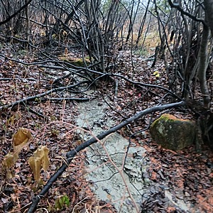
View all photosThe mine still required to implement silt fencing at the shoulder of the road at the south west due to sediments traveling towards the waterbody. Currently there is a wetland barrier between the main flow and the deposit of silt alongside the flowing water.


