Clear Creek
Apple River, Illinois, United States
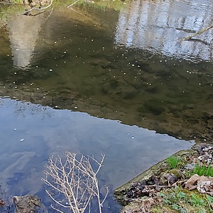
Clear Creek south of E Canyon Rd bridge. Water is always present and moving, though occasionally freezes over during Winter. Sampling location is approximately 30 feet south of the bridge on the east bank. Rock and path down from the road is steep and can be slippery. Companion upstream measurement site is Clear Creek North (Site ID: CCN), located approximately 1100 feet upstream of this site.

- Site ID: CCS
- Lat: 42.4491114
- Lng: -90.0458336
- Waterbody Type: Creek
- Timezone: America/Chicago
Latest photos
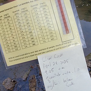
View all photosResults were below the values on the scale. Quantab units: 1.0
0 is given as the value only because the reading is below what is listed on the table. The value was 1.0 quantab units.
Sample taken ~5m. upstream due to ice cover. Second sample taken which confirmed 0.8 Quantab units (0.0 Chloride).
Reading of 0.0 mg/L listed because the measurement is below the scale on the table. See photograph. Measurement taken about 40 meters downstream of previous measurements, and closer to the opposite side of the creek. This was due to heavy ice cover. Very thick ice has prevented water sampling at this location for two weeks. See picture of melt-hole used for sample.
Measurement of 0.0 mg/L listed because reading is below limit of conversion table. See image. Sample taken ~24 hours after multiple passes of salt truck during a light rain.
Measurement of 0.0 mg/L listed because the reading is below what is listed on the table. See picture. First observation at newly established site downstream of a state road bridge. Sampled approximately one week after first snow and road salting.


