
Black Creek
Ontario, Canada
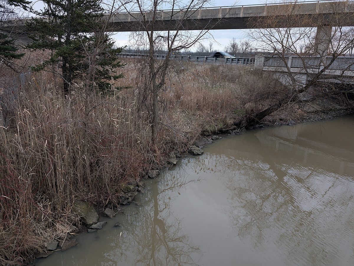
A small, metal footbridge crossing over Black Creek. There is a turnaround spot nearby for parking. Water samples are collected with a throw-bucket. The footbridge is just downstream (<100 m) of the QEW and Townline road. Further upstream of the QEW, Beaver Creek merges with Black Creek. The water flows into the Niagara River.

Location created by
Kiersten McCutcheon
- Group: Lake Erie Rangers : Lake Erie Rangers Monthly Monitoring
- Site ID: Black Creek footbridge from Shagbark Lane (Downstream)
- Lat: 42.9635047
- Lng: -79.02174
- Waterbody Type: Creek
- Timezone: America/Toronto
Latest photos

Observed "ice on" January 26th. Based on previous temperatures, creek was likely fully covered with ice at least 1 week ago.