Ottawa River - West of Nepean Bay
Gatineau, Ontario, Canada
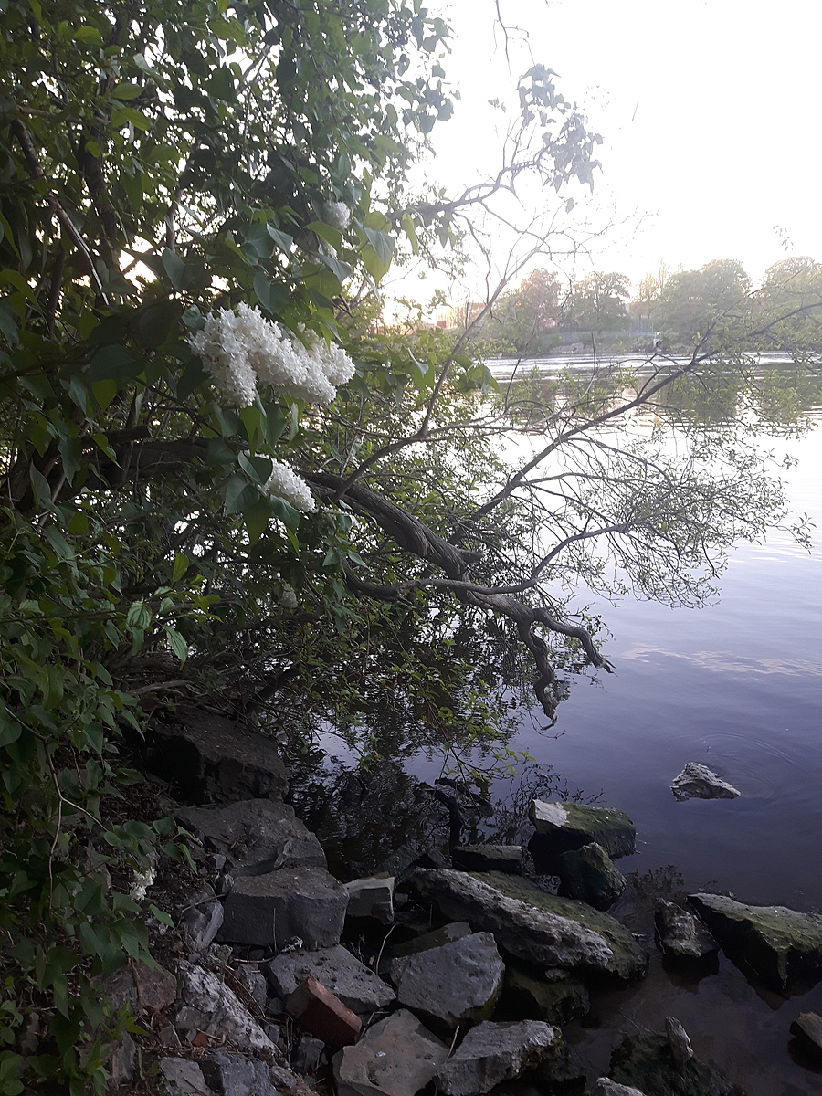
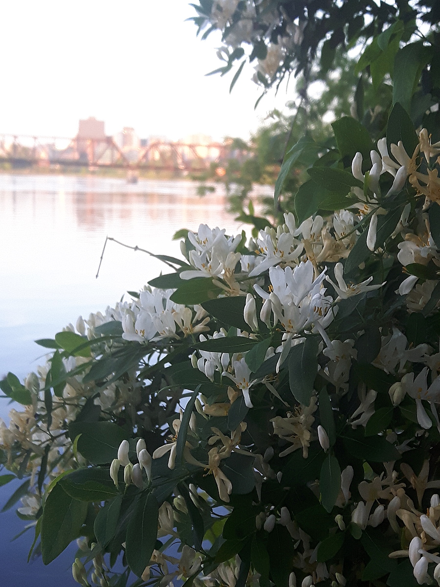
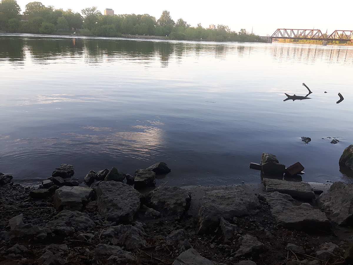
Right before the first bridge on the way to Lemieux Island, there is an old falling down building and a dirt laneway leading down to the water. Many people put their canoes and kayaks in here. It has a nice beach sand bottom with scattered large rocks. There are bushes overhanging the shore and a beautiful view of the Prince of Wales bridge.

Location created by
Julie Sell
- Lat: 45.4124003
- Lng: -75.7298756
- Waterbody Type: River
- Timezone: America/Toronto
Latest photos
There are currently no issues at this location.