West Humber River
Etobicoke, Ontario, Canada
Just south of the Humber Polytechnic. This location was created as the spot just upstream, to the west had become very overgrown and not easily accessible.

Location created by
Jenny Hill
- Lat: 43.7262603
- Lng: -79.6037106
- Waterbody Type: River
- Timezone: America/Toronto
Latest photos


West Humber River : Downstream of the bridge
Observed on
2025-05-07
West Humber River : Downstream of the bridge
Observed on
2025-04-02
West Humber River : Downstream of the bridge
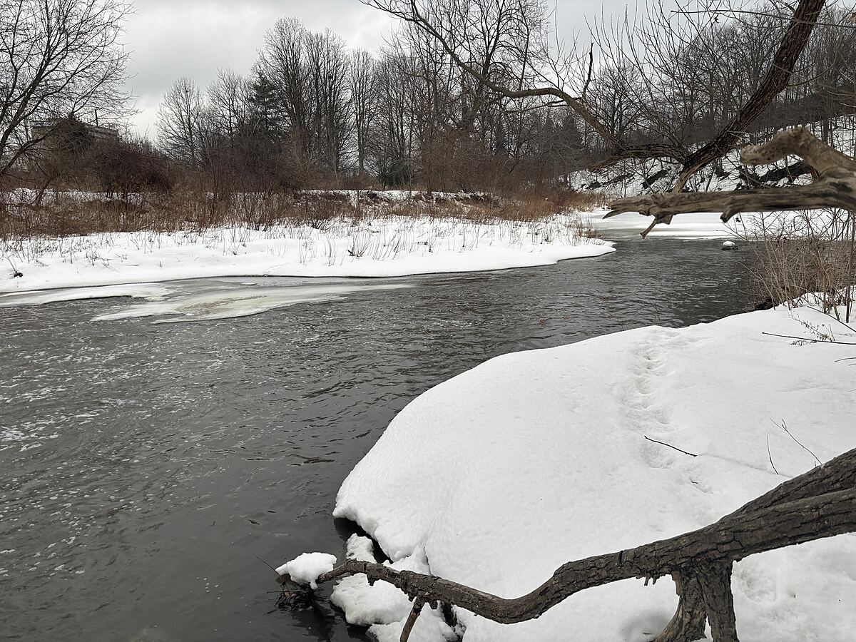
Observed on
2025-02-27
Chloride estimated from extrapolation of manufacturers calibration curve (raw reading = 8.2)
West Humber River : Downstream of the bridge
Observed on
2025-02-01
Chloride estimated from extrapolation of manufacturers calibration curve (raw reading = 8.6)
West Humber River : Downstream of the bridge
Observed on
2024-12-10
West Humber River : Downstream of the bridge
Observed on
2024-11-27
West Humber River : Downstream of the bridge
Observed on
2024-10-24
West Humber River : Downstream of the bridge
Observed on
2024-09-30
West Humber River : Downstream of the bridge
Observed on
2024-08-29