Fly Creek
Fairhope, Alabama, United States
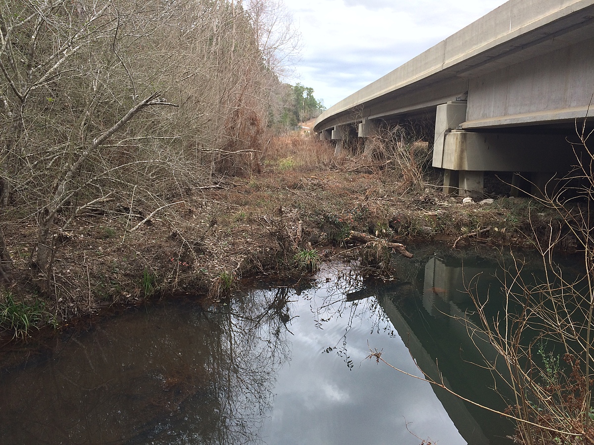
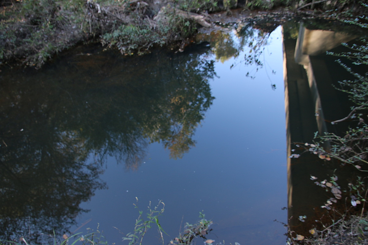
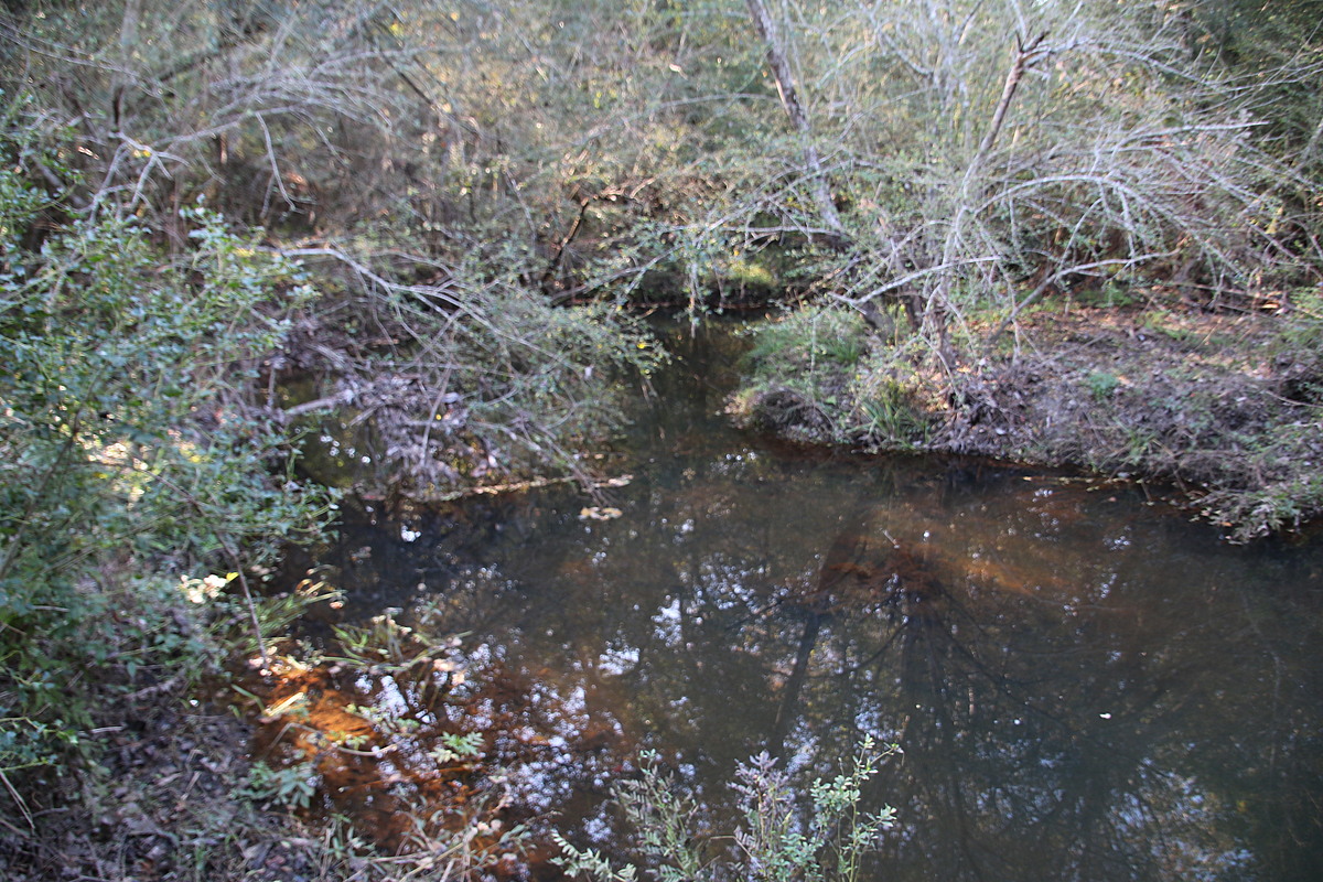
This is a stream of Fly Creek that runs underneath County Rd 13 bridge.

Location created by
Diego Calderon-Arrieta
- Group: Mobile Baykeeper : Mobile Baykeeper Team
- Lat: 30.5542602
- Lng: -87.8700686
- Waterbody Type: Creek
- Timezone: US/Central
Latest photos
Fly Creek : Fly Creek @ County Road 13
Observed on
2018-03-07
NOAA Dog River Water Levels station = 0.09 ft and rising 1st sample's Most Probable Number of En...
Fly Creek : Fly Creek @ County Road 13
Observed on
2018-02-28
NOAA Dog River Water Levels station = 0.62 ft and rising Most Probable Number of Enterococcus = ...
Fly Creek : Fly Creek @ County Road 13
Observed on
2018-02-21
NOAA Dog River Water Levels station = 1.42 ft and rising. Most Probable Number of Enterococcus ...
Fly Creek : Fly Creek @ County Road 13
Observed on
2018-02-14
NOAA Dog River Water Levels station = 0.2 ft and lowest. Most Probable Number of Enterococcus N...
Fly Creek : Fly Creek @ County Road 13
Observed on
2018-02-07
NOAA's Dog River Water Levels station = 1 ft and rising Most Probable Number of Enterococcus = 8...
Fly Creek : Fly Creek @ County Road 13
Observed on
2018-02-01
According to NOAA's Dog River Water Levels station, the tide was -0.12 ft and rising. 1st sampl...
Fly Creek : Fly Creek @ County Road 13
Observed on
2018-01-23
According to NOAA's Dog River Water Levels station, the tide was 0.13 ft and falling. Most Proba...
Fly Creek : Fly Creek @ County Road 13
Observed on
2018-01-11
According to NOAA's Dog River water levels station, the tide was 1.04 ft and rising. Most Probab...
Fly Creek : Fly Creek @ County Road 13
Observed on
2017-12-20
According to NOAA's Dog River Water Levels station, the tide was -0.21 ft and falling. Most Prob...
Fly Creek : Fly Creek @ County Road 13
Observed on
2017-12-14
Most Probable Number of Enterococcus = <20 CFU/100mL According to NOAA's Dog River Water Levels ...