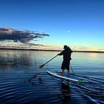
Liard River
Northwest Territories, Canada
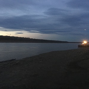
The location is used to launch boats and there is a barge landing. The river is broad and deep in this location with a strong current. During winter the location is also used an ice bridge to cross the river.

Location created by
Cale Jackson
- Group: Protect Our Waters
- Lat: 60.2525792
- Lng: -123.4495068
- Waterbody Type: River
- Timezone: America/Yellowknife
Latest photos
View all photosLarge volume river. Strong current. Fairly broad and deep. Many gravel and sand bars. Barge landing was sample spot. Mostly silt and fine gravel at sample location. Boat launch and barge landing are both areas which flush sediment in the river during rain and run off events. Heavily eroded.


