Montreal River
Ontario, Canada
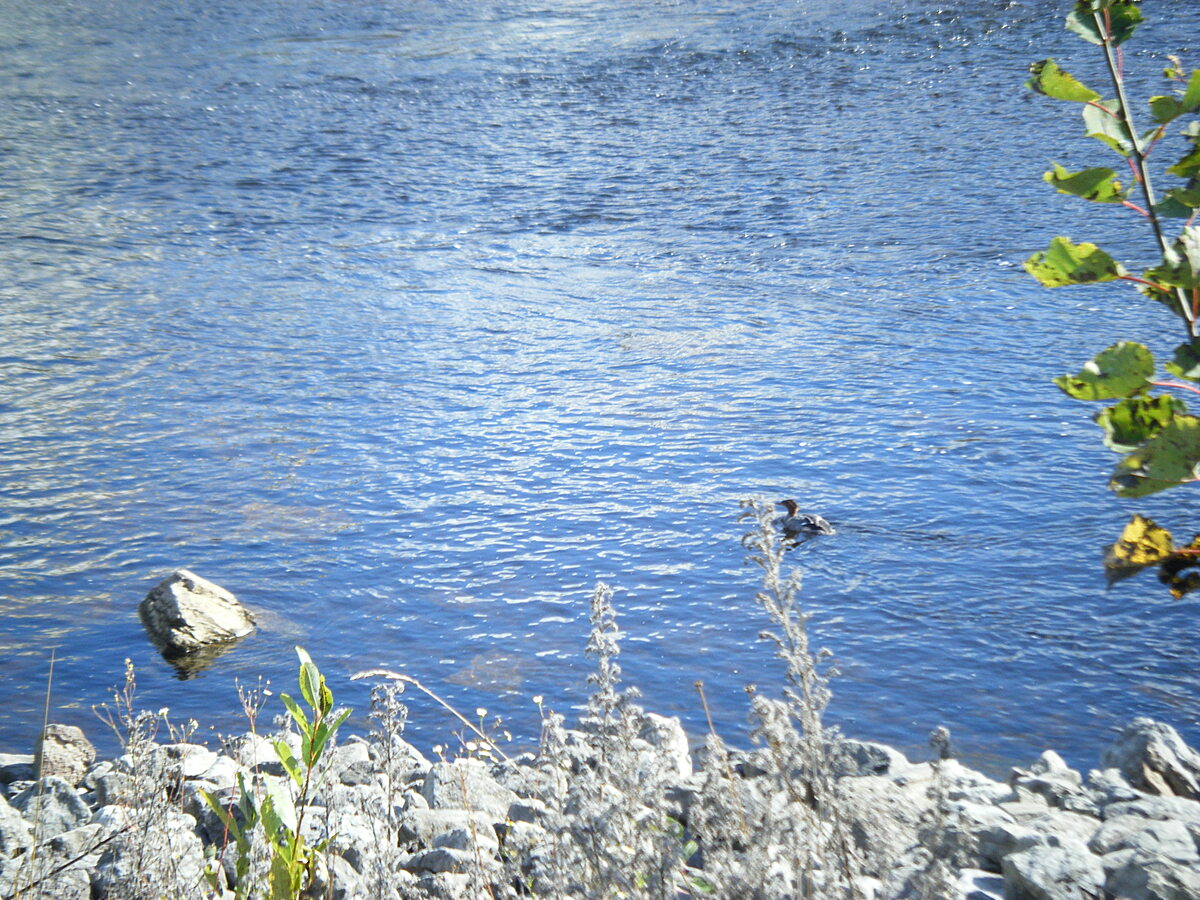
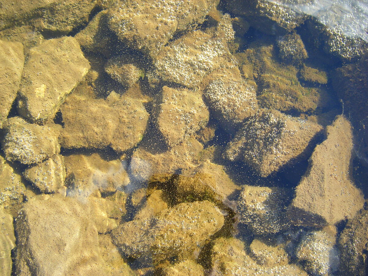
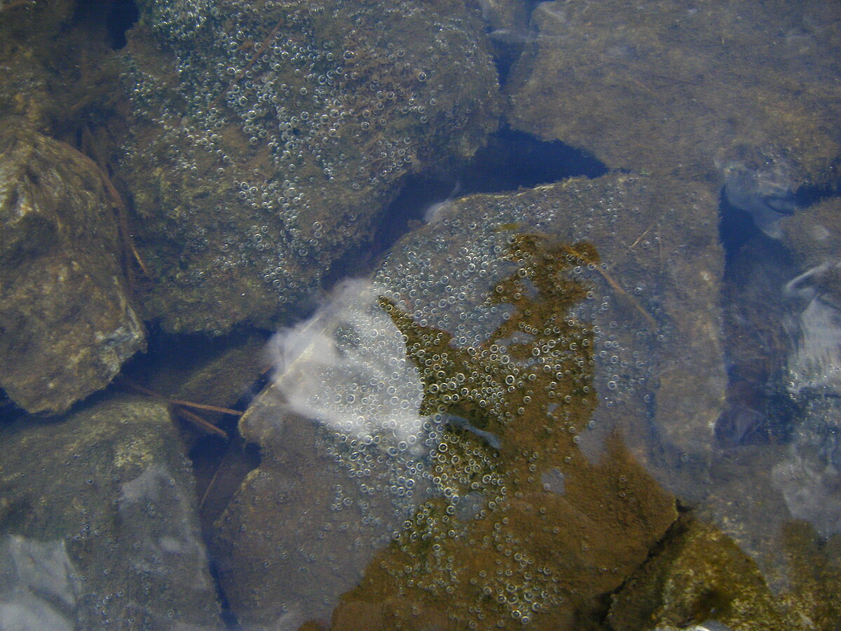
Testing spot off the rocks by a picnic area on Hwy 11, downstream from the Latchford Dam.

Location created by
Julie Lachapelle
- Group: Water Rangers : Water Rangers Water Quality Testers
- Lat: 47.3229415
- Lng: -79.8099232
- Waterbody Type: River
- Timezone: America/Toronto
Latest photos
There are currently no issues at this location.