River Wey
Alton, Hampshire, United Kingdom
Chalk stream

Location created by
Louise Hilton
- Group: River Wey at Alton : Alton Hub for Water Testing
- Lat: 51.149537
- Lng: -0.9848098
- Waterbody Type: River
- Timezone: UTC
Latest photos
View all photosRiver Wey : Flood Meadows - Odiham road end
Observed on
2024-07-28
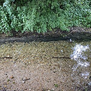
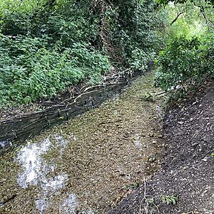
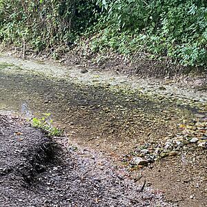
Low level of water and flow very slow
River Wey : Flood Meadows - Odiham road end
Observed on
2024-06-30
Clear water, slow running, low water levels


