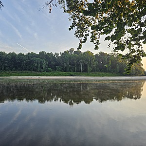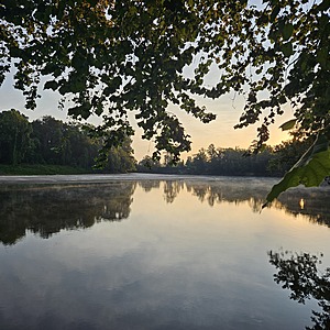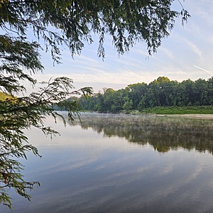
Pearl River
Foxworth, Mississippi, United States
This location is located on the Pearl River, accessed through private property off of Carroll Loop Road with permission. If heading north of Morgantown on Carroll Loop Road, the property is on the left.

- Group: Mississippi State University : Mississippi Water Stewards
- Lat: 31.3162172
- Lng: -89.9123883
- Waterbody Type: River
- Timezone: America/Chicago
Latest photos
View all photosSorry about my finger being in the pictures. The sun was SO bright, I didn't notice my mistake until I got home. LOL!
Saw 1 Swallowed-Tailed Kite. There is a confirmed nest in the area.
Water was too deep to measure. Heavy downpours in the afternoon everyday for the last few days. With it predicted to continue until the end of the week---I decided to go ahead and test both bacteria and chemistry elements.
No River Flow or River Stage info available from the website. No readings for a couple of days.
The river is way down from where it has been the last few months.
On and off rain for several days prior to testing.
I was a little stunned at the results considering the sewage spill in Jackson. I wonder if the reduced water level of the river and the spring water flowing from a couple of places right beside where I test contributes to the benign test results.
Depth was actually greater than 5' where I collect samples. River is still high.
Unable to test Turbidity. Realized on testing day that I had not reclaimed one of the testing tubes that was borrowed from my kit at the certification on April 11th.
water was too deep to measure depth. Corrected DO% calculation to reflect the data sheet. -Mark Hill, 8-21-2025
The water was too deep for me to measure. Water temp is lower that Mill Creek! I double checked and 10 was what it was showing. Since Ecoli and Other Coliforms were unusually high, I've included pics of the RCards. I checked some notes that I had printed out about counting and it said to be conservative. Let me know what you think about the wide areas of "pink". I decided to not count those in my numbers.
The water was too low for me to test. The stairs only go down so far so the water was beyond my reach.
I may have messed up the Dissolved Oxygen test. The water is SO low right now that I couldn't get down to it with both lids of the bottles on to remove them under the water and then fill. It was just too precarious for me to do that.


