Kyd Brook East
London, Bromley, United Kingdom
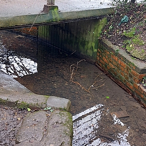
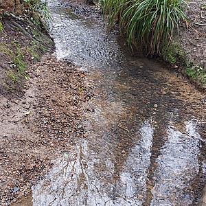
This is east Kyd Brook one of several branches of the Brook that eventually all join together. This part of the Brook runs within Crofton Woods along a concrete path on one side and a mixture of houses and open spaces on the other. It is quiet shallow in the majority of places and constantly gently runs unless it has been raining or has rained then it can be quiet deep and fast flowing. There are several surface water overflows that discharge into Kyd Brook upstream from this location.

- Group: Thames21 : Ravensbourne Catchment Improvement Group's Water Quality Working Group
- Site ID: What3words humble.harder.mock
- Lat: 51.3787351
- Lng: 0.0735438
- Waterbody Type: Stream
- Timezone: Europe/London
Latest photos
View all photosThere has been heavy rain recently but the water level is still low and the stones are still covered in silt although not as much as usual.
Even though there had been heavy rain the day before the bottom of the brook was still covered in silt, please see picture.
The stones are starting to accumulate silt.
The bottom of Kyd Brook was clearer today and the stones looked clean, as normally they are covered with a layer of silt. It must have been the heavy rain on Saturday meaning that the silt is now further downstream.
I've also uploaded some sheets explaining the meaning of the ammonia and phosphate levels.
The stones at the bottom of Kyd Broom are covered with lots of silt. The only positive is further upstream there were baby stickleback, I'm presuming.


