Bowker Creek
Victoria, British Columbia, Canada
North of foot bridge

- Group: Friends of Bowker Creek : Salmon Recovery
- Lat: 48.4520025
- Lng: -123.3342859
- Waterbody Type: Creek
- Timezone: UTC
Latest photos
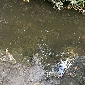
View all photosWater is clear, creek bottom easily observed
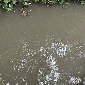
Brown /grey water
The creek has come up significantly. The colour is brownish. The creek bottom is not visible.
It has been raining. The creek has come up significantly. The water is brown and the creek bottom can no longer been seen. A significant change compared to 4.5 hour’s ago.
The creek is clear with lots of small soapy looking bubbles on the surface
Brown water, can’t see Creek bottom.
Brown water, can’t see creek bottom.
Clear stagnant water. Next to no flow.
Can see creek bottom covered with silt.
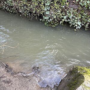
Grey/ green water, can’t see the creek bed.


