Bowker Creek
Victoria, British Columbia, Canada
North of foot bridge

- Group: Friends of Bowker Creek : Salmon Recovery
- Lat: 48.4520025
- Lng: -123.3342859
- Waterbody Type: Creek
- Timezone: UTC
Latest photos
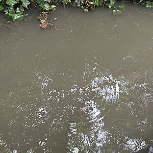
View all photosGrey water, creek bottom can’t be observed.
Grey water, creek bed can’t be observed.
Creek has come up. Grey water. Creek bottom can’t be observed. Flock of mallard in the creek. Bc
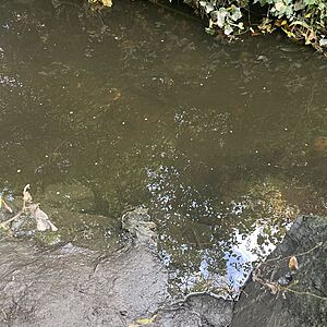
Water looks clear. Creek bottom can be easily observed.
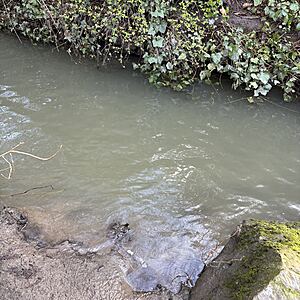
Creek is greenish/ grey in Color. Creek bottom is difficult to observe.
Creek bottom can be observed.
Creek looks murky, green/grey with n colour. Creek bottom is difficult to observe b
Grey/green water. Creek bottom cannot be observed.
Creek water level has gone down significantly. Creek bottom can be clearly observed.
Creek has come up significantly, fast water. Can’t see creek bottom brown grey in Color.
Five mallards at creek site.


