Stanford Brook/Hoe Stream
Surrey, United Kingdom
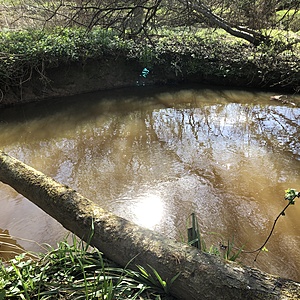
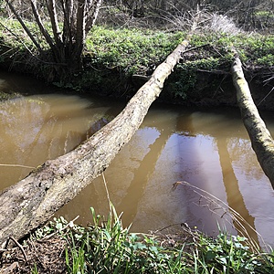
Testing site is within the Fox Corner Nature Reserve about 15m downstream from the confluence of the Stanford Brook and Hodge Brook.
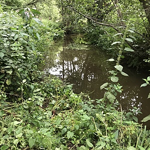
There is a lot of bankside vegetation, but it is easily pushed back to enable access down a gentle slope to the stream edge.
Then carry water sample up to path to do the survey.
The Stanford Brook is a slow moving stream, the Hodge Brook considerably faster and with more sediment.

- Group: Zero Guildford : River Wey at Guildford
- Lat: 51.2808301
- Lng: -0.6228089
- Waterbody Type: Stream
- Timezone: Europe/London
Latest photos
View all photosThere is a residential sewage works about 400m upstream of this test site. It is noted to have overflowed the storm discharge on 7th July for 1 hour.
The people who manage the nature reserve next to this test site have been cutting back Himalayan Balsam across the site. This is an invasive species
Nitrates and phosphates highest seen at this location. Possibly concentrated due to low flow. From storm discharges from upstream Hockford STW there was no unplanned (storm) discharge in the time prior to this survey
Sewage works discharge about 200-300m upstream. Slight chemical smell
Water had an unidentifiable smell, slightly chemically and slightly muddy
Ecoli testing sample taken on Friday 25th April. Results will be added when known.
There is a sewage works (residential and industrial) upstream.
the water smelt muddy
quite fast and high side of average. muddy smelling
Sewage works upstream.
Water brownish
small amount of natural debris
Red water entering from Hodge Brook, beyond the confluence the Standford is more dark brown.
There is a sewage works upstream from this test point and it is known to release raw sewage at times. The red water though is not associated with this.
The river was over the banks in many places and running very fast. The sewage treatment works upstream Hockford) of this testing point had been discharging storm overflow in to the stream for about 13 hours at time of testing. The Thames Water comment on this discharge indicated it may include raw sewage. River distance from outfall to test site is approximately 880m.
The nitrate/phosphate levels were not particularly high at time of testing, though dilution due to amount of water in the river, would have been very high. This is indicated as well by the relatively low (for this site) conductivity levels.
Water could only be collected from the bank, though tried to reach out into the stream flow as much as possible it was not easy.
Water low, murky brown with sediment and muddy river bottom. But quite clear when in collection jar.


