Tributary of Classford Brook, Normandy
Normandy, Surrey, United Kingdom
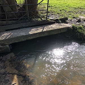
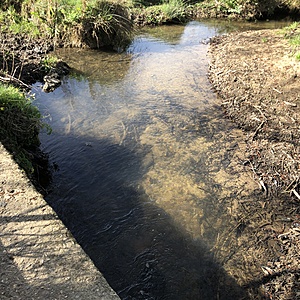
The testing point is by the stone bridge over the larger stream in the cow field. The bank edge is quite trampled by cows to the south and east of the bridge and the stream is quite wide here. To the north of the bridge it is narrower.
The stream comes from springs on the Hogs Back and travels past fields with horses in and Backhurst/Strawberry Farm (soils, rocks, woodchip etc are stored and sold from here).
The testing location is on a footpath and from the bridge so is accessible all year, even when the water is very high, the bridge is usually above the water.
The water was flowing steadily on this occassion

- Group: River Wey Trust: ZERO Guildford Hub
- Lat: 51.253809
- Lng: -0.6599621
- Waterbody Type: Stream
- Timezone: Europe/London
Latest photos
View all photosCows still in field.
Use test site as a crossing, drinking and standing in water area.
Banks here and upstream devoid of vegetation and upstream banks showing signs of degradation and erosion.
River very low.
Cows are in the field grazing and use the location and two new areas about 10m and 20m upstream as access and crossing points. They have been standing in this area evidenced by flattened grass and bank damage.
Cows in the field at the moment, use the stream to drink and cross over here. See images
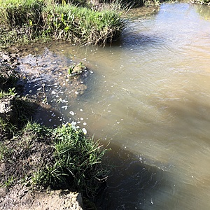
Greyish blue tone to water with a little foam moving downstream
muddy smell to water
water pale brown, very slightly cloudy
Hardness was hard to measure as the colour of the test-strip was very pink (see image). 2 test strips were tried with the same result.
high nitrates again.
Water fairly low. Nitrates very high. Potential upstream sources of pollution include horse stables, dog kennels and business selling chipped wood.
a few bubbles of foam on the surface, water looks clear. Nitrates highest ever seen
some bubbles/foam in eddie to west of bridge. Water higher side of average


