![](https://cdn.waterrangers.ca/attachments/aa888eacdaa3fb9b71383d05c96d5bb62c8731a4/store/fill/300/300/60468fd2c5c2b037f05ec45778fd77bb7d002b383fb0c00af011fb56e9e8/image_1512638741.jpg)
Leaflet | © Mapbox-Outdoors
R Wey north
East Hampshire District, Hampshire, United Kingdom
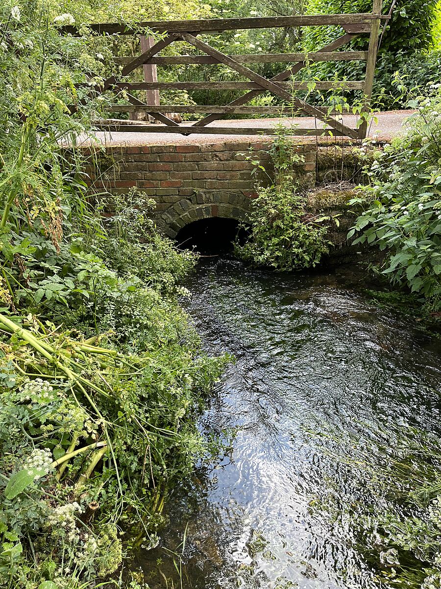
Mill bypass stream
![](https://cdn.waterrangers.ca/attachments/b3e35d6dacaa2fa1bbac60f7a569560c9052af27/store/fill/150/150/073bbaa5337b43b1b0d3f8ae7924cdb3b9b273eb952c9fbc8652201f4ee6/sallyWateranger.jpg)
Location created by
Sally Ferguson
Sally Ferguson
- Group: River Wey at Alton : Alton Hub for Water Testing
- Lat: 51.1594278
- Lng: -0.952657
- Waterbody Type: Stream
- Timezone: UTC
Latest photos
View all photos
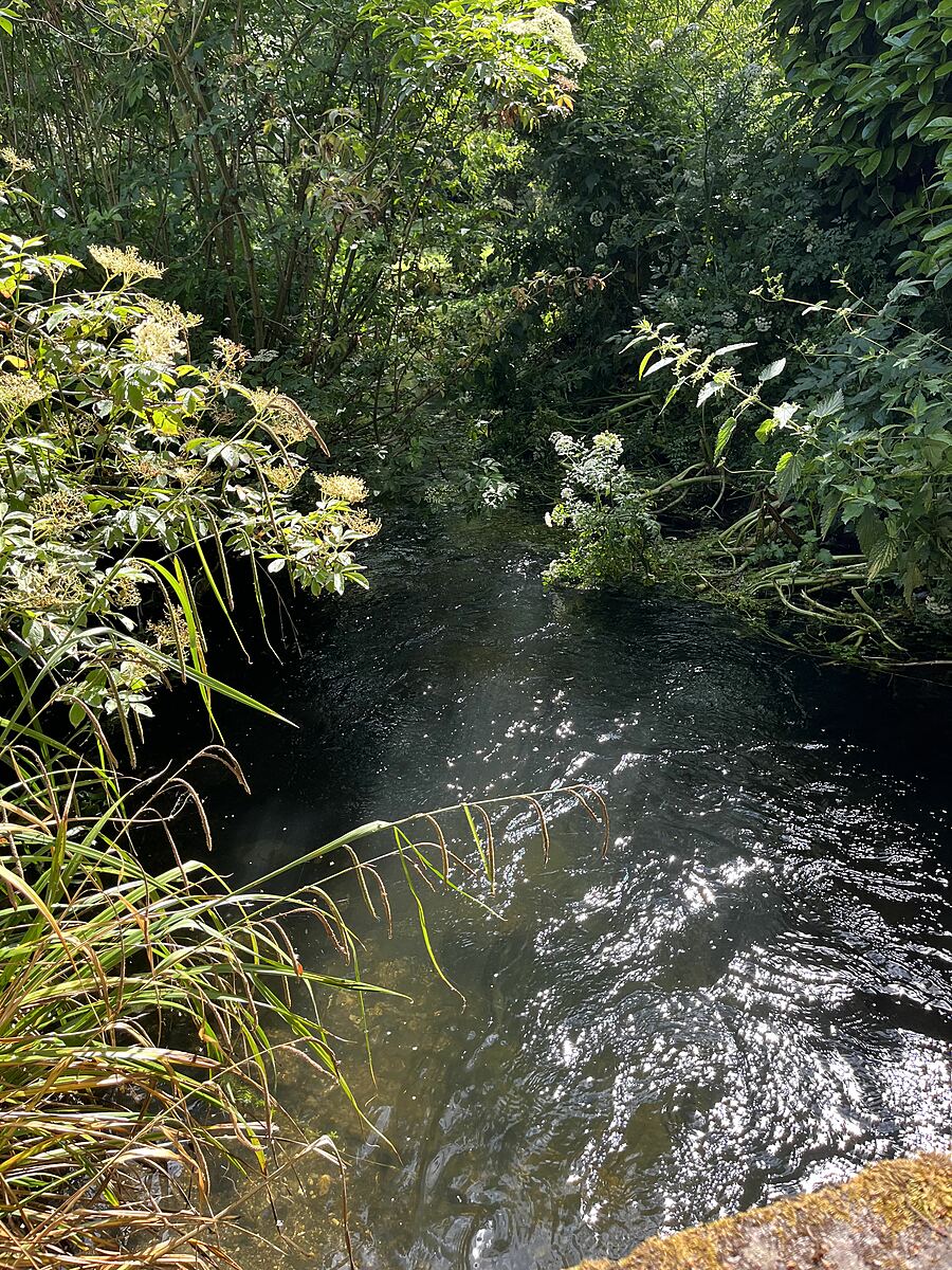
R Wey north : Upper Neatham
Observed on
2023-06-21
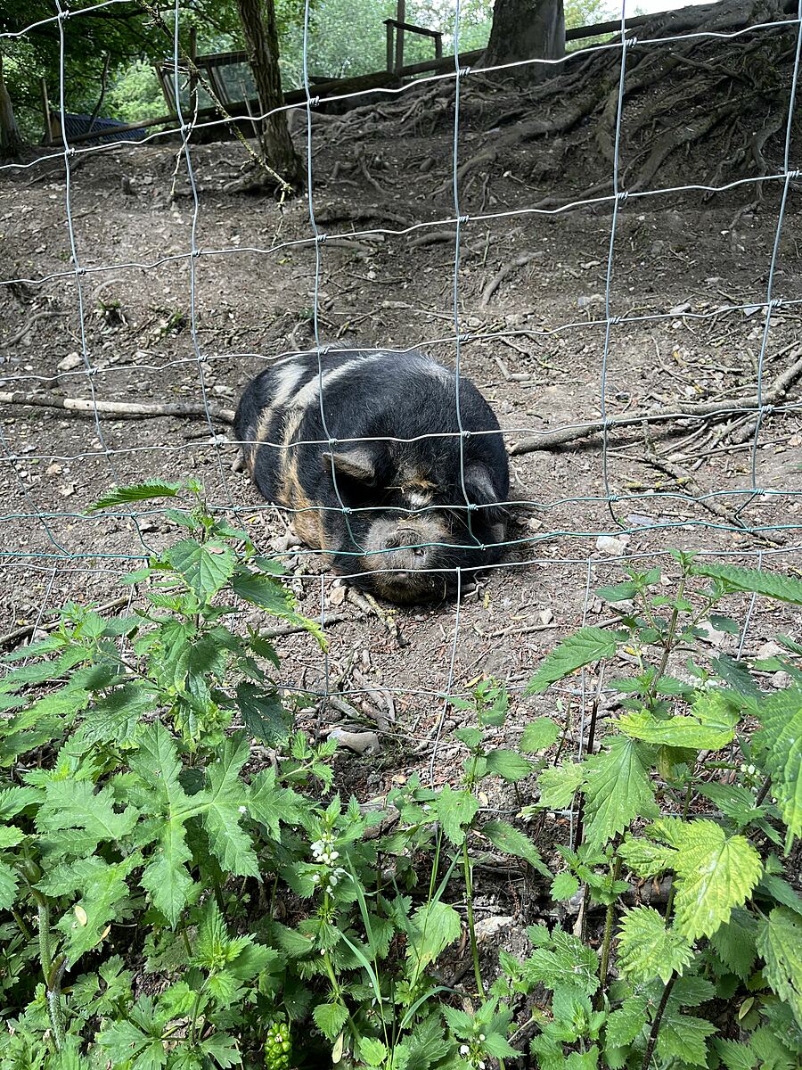
Clear water, green water plants . Nearby smallholding with 10 pigs and other animals