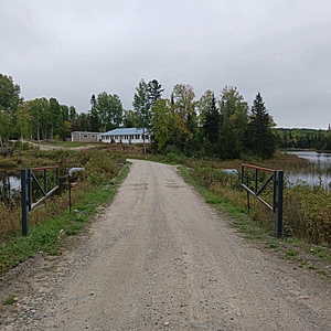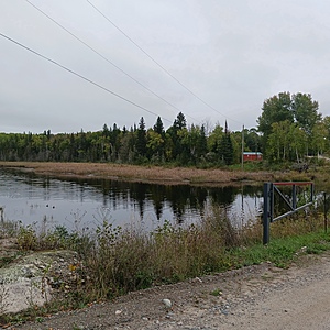
Dog lake
Ontario, Canada
Island View Camp Ground

Location created by
Ryan Wesley
- Group: Missanabie Cree First Nation : Dog Lake Head Waters Monitoring Program
- Lat: 48.3125996
- Lng: -84.0359051
- Waterbody Type: Lake
- Timezone: UTC
Latest photos
View all photosLoon
Fish
Weeds
Two leeches
Foam on water
Boat
Lots of black flies
Two loons
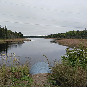
water level on each side of the culvert is different and being affected by partial beaver dam on north side. Water level on both sides are below average for Dog Lake.
submitted on behalf of Michael Tremblay
uploaded on behalf of 2022 Water Guardian, Michael Tremblay


