Rivière Richelieu
Chambly, Quebec, Canada
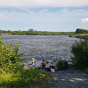
À droite du Fort Chambly, une petite descente en gravier permet d'accéder facilement et sécuritairement à l'eau.
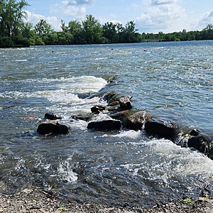
On se retrouve en face des îles du refuge Pierre-Étienne-Fortin, là où les rapides commencent.

Location created by
Coralie Godon
- Group: Organisme de Bassin Versant rivière Richelieu et zone St-Laurent : COVABAR
- Lat: 45.4495745
- Lng: -73.2760835
- Waterbody Type: River
- Timezone: America/Toronto
Latest photos
View all photosRivière Richelieu : Fort Chambly
Observed on
2025-07-08
Rivière Richelieu : Fort Chambly
Observed on
2025-06-13
Rivière Richelieu : Fort Chambly
Observed on
2025-05-08
Rivière Richelieu : Fort Chambly
Observed on
2025-04-04
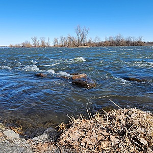
Niveau d'eau très haut Eau trouble et verdâtre
Rivière Richelieu : Fort Chambly
Observed on
2024-11-07
Rivière Richelieu : Fort Chambly
Observed on
2024-10-04
Rivière Richelieu : Fort Chambly
Observed on
2024-08-11
Rivière Richelieu : Fort Chambly
Observed on
2024-07-02


