St. Lawrence River
Ontario, Canada
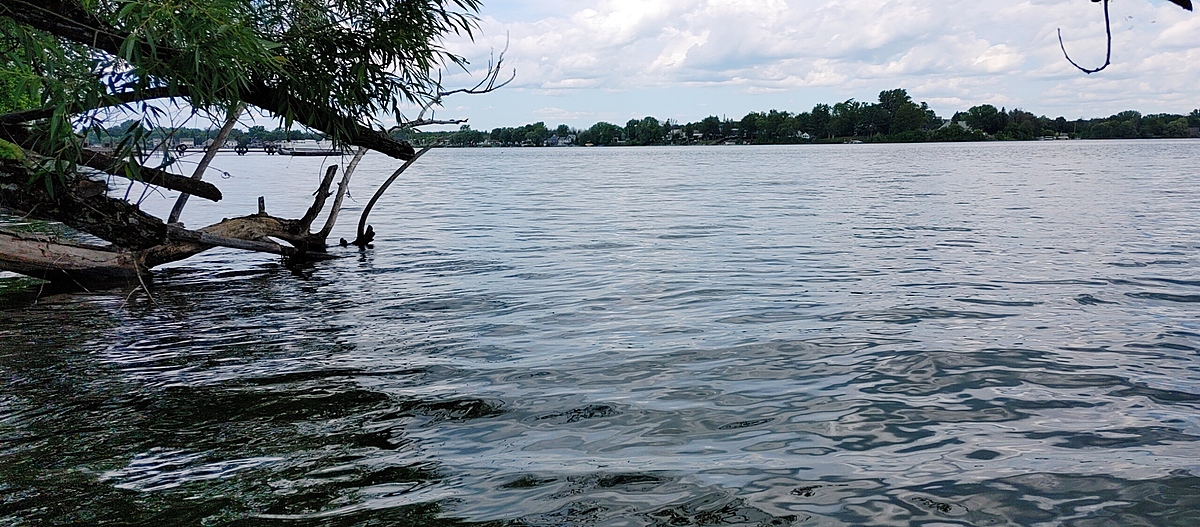
Movnig water, very shallow, sandy/bare bottomed shelf that extends far out into the river. Eroded shoreline with lots of fallen trees.
Coordinates: 45.027199 -74.643157
Location created by
Emma Ehrenfeld
- Group: River Institute : Upper St. Lawrence River Volunteer Monitoring
- Lat: 45.0271931
- Lng: -74.6431947
- Waterbody Type: River
- Timezone: America/Toronto
Latest photos
St. Lawrence River : Colquhoun Island East End
Observed on
2022-07-13
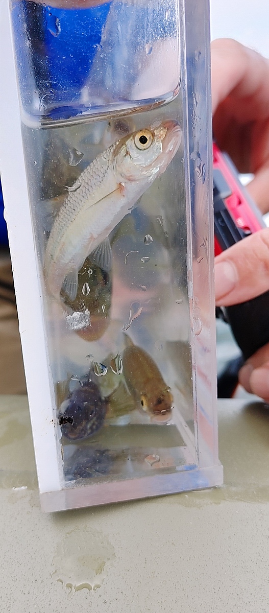
Plants: Algae sp. Chara, flatleaf pondweed, and Eurasian milfoil. Birds: Baby mallards - could n...