pH (0-14)
What's this?
6.8
Bon Echo Creek adjacent Hwy 41 : Bon Echo Lake
Cloyne, Ontario, Canada
Observed by
Jennifer Valentine
- Observed on: Wed, 11 Apr 2018 17:24:00 -0400
-
Associated with:
Protect Our Waters - Lat: 44.9003894
- Lng: -77.2146606
Observation report
See trends at this locationWater quality tests
Pending Quality Check from Water Rangers What's this?
Hardness mg/L
What's this?
0.0
Alkalinity mg/L
What's this?
0.0
Conductivity μS/cm
What's this?
28.0
Air temperature °C
What's this?
4.0
Water temperature °C
What's this?
3.5
Total dissolved solids ppm
What's this?
14.0
Latest photos

Notes
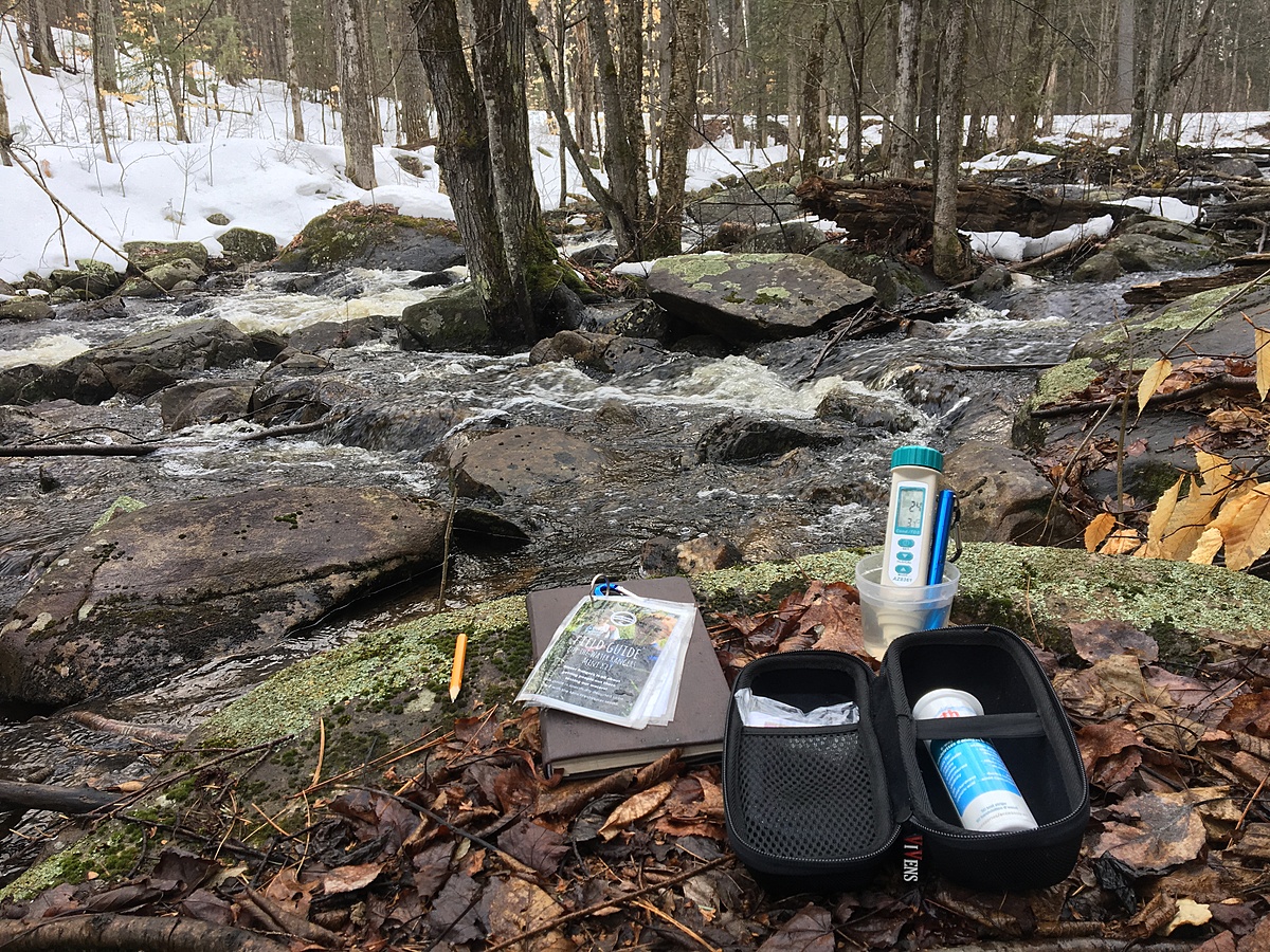
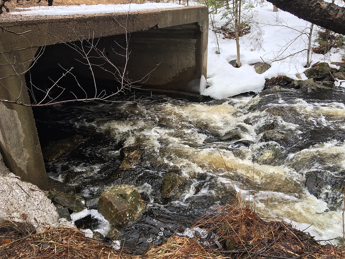
Water travels from Bon Echo Lake, down the creek and empties into Lower Lake Mazinaw. Large boulders, debris, and heavy leaf litter scattered throughout stream bed. Swift running water and engulfed creek bank, due to seasonal snow melt.
Deciduous forest consisting of mainly Maple, Elm, Oak and Beech trees. Sample location u/s from culvert along Hwy 41, across from Bon Echo Provincial Park.
Overcast, 70% Humidity, 101.1kPa, Wind 16km SW.